What is recorded here
Situated in pasture. Depicted on the 1837 ed. OS 6-inch map as St Bridget’s Well. Kilbride graveyard (WM019-036----) lies c. 35m to E. Monument described in 1976 as a much altered and modernised well retaining water and containing a large circular limestone at the base which has a central perforation (max. diam. 0.65m). Well has been refurbished with pseudo-cross slabs, Stations of the Cross and a Gallarus-style oratory.
Compiled by: Alison McQueen, Vera Rahilly and Caimin O’Brien
Date of upload: 03 April 2019
St. Bridget’s Well is associated with the veneration of St. Brigid of Kildare, a prominent early Irish Christian saint linked to healing and fertility. Traditionally, such wells were visited for their curative properties, particularly for ailments of the eyes and childbirth, and were often marked by seasonal rituals and offerings.
The monument record does not grant public access. Check the route and ask the landowner before entering private land.
- What survives
- Recorded monument
Places near here
 Saint Brigid's WellSpring · 3 yd
 Ecclesiastical enclosure in Culleen MoreEcclesiastical enclosure · 56 yd
 Castle (in Ruins)Castle, tower house · 324 yd
 OutlinedFairy fort / earthen ringfort · 390 yd
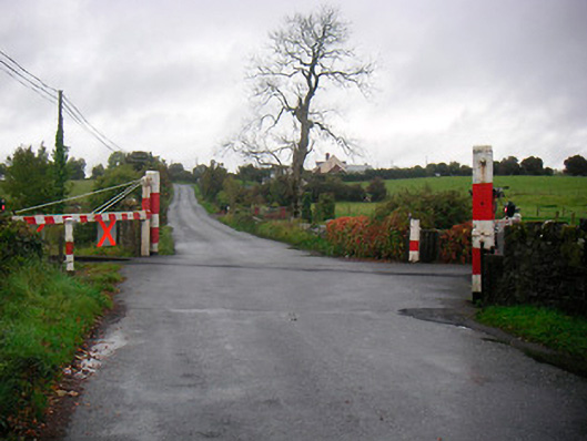 level crossinglevel crossing · 558 yd
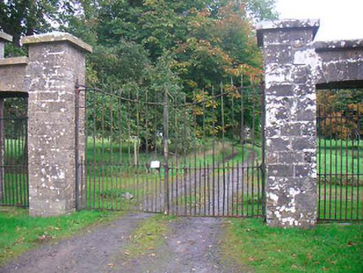 Levington Parkdemesne walls/gates/railings · 745 yd
 United Nations War MemorialMemorial · 1359 yd
 CastlemitchelCastle, unclassified · 1572 yd
 Lady's IslandWood · 1.1 mi
 Church IslandIsland · 1.5 mi
 Mullingar Cathedral MuseumMuseum · 1.6 mi
 Long PlantingForest · 1.6 mi