
What is recorded here
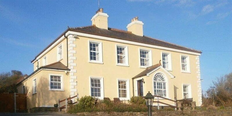
At the NW corner of a moated site (GA094-003002-), within the grounds of Ardfry House (GA094-004---). This natural spring well (D 2.5m) is enclosed by subrectangular drystone wall (3m N–S; 2.2m E–W), which is just one course high. The well is straight sided and lined with drystone walling. According to Holt (1912, 237), it 'occupies a small bastion-like expansion of the scarp'. A tower house (GA094-003001-) was built on the W scarp of the motte, a few meters to the SE of the holy well. When visited it was obscured with the growth of ivy and ferns, and was covered over with wooden planks. A number of burials were found in its vicinity – see GA094-003004-.
Compiled by: Galway Archaeological Survey, UCG
Date of upload: 19 December 2022
Linked to St. Brendan the Navigator, the well is associated with healing traditions and pilgrimage, particularly for the cure of eye ailments. Locally, it was once visited on specific feast days, with offerings of coins and cloth left at the site as part of devotional practices.
The monument record does not grant public access. Check the route and ask the landowner before entering private land.
- What survives
- Recorded monument
Places near here
 Castle (in Ruins)Castle, tower house · 16 yd
 Ardfry Housefarmyard complex · 145 yd
 Ardfry Ho.Country house · 184 yd
 IndicatedFairy fort / earthen ringfort · 577 yd
 RathmoreFairy fort / earthen ringfort · 894 yd
 Plumbtree FortArchaeological place · 1194 yd
 West WoodWood · 1313 yd
 Leadmine HillMountain / peak · 1592 yd
 CastleCastle, tower house · 1.0 mi
 Ardfry PointHeadland · 1.2 mi
 Goose IslandIslet · 1.5 mi
 InishcorraIslet · 1.7 mi
Other information
Photo: Credit not shown in the picture search · Rights wording not checked; contact us if this picture should be removed