What is recorded here
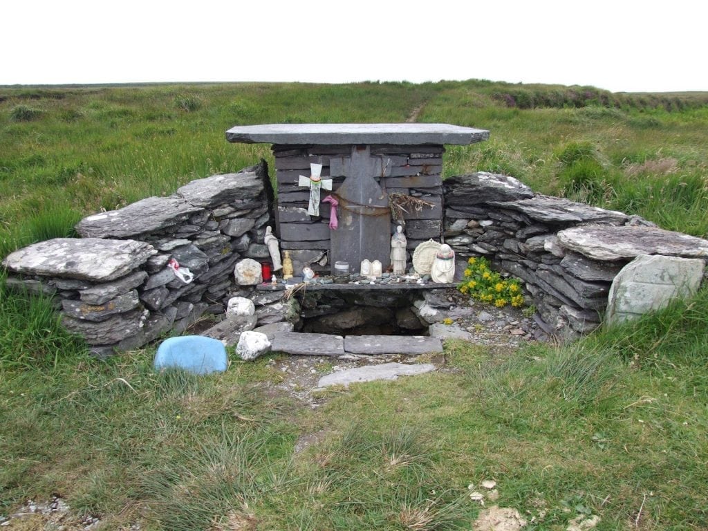
St. Brendan's Well hid on the bank of a small river near Cloghane, where pilgrims completed rounds after climbing Mount Brandon. The water waited only for the last Sunday of July, when the great Pattern of Cloghane called people from across the region. It denied the casual visitor and the forgetful world, appearing then only in the rhythm of devotion.
St. Brendan's Well/Tobar Bréanainn: Situated on the bank of a small river about 250m W of the estuary of the Owenmore river and less than 100m NW of the medieval church at Cloghane (KE035-025----). No trace of the well is now visible. Rounds were made here as part of the great Pattern of Cloghane which followed the pilgrimage to Mount Brandon on Domhnach Chrom Dubh, the last Sunday of July (KE034-047007-).
Described by Ó Danachair (1960, 72) as a; 'small spring well close to the churchyard. At the pattern - now almost extinct - a visit to the well formed part of the ritual. It is not visited otherwise'.
The above description is derived from J. Cuppage, ‘Corca Dhuibhne. Dingle Peninsula archaeological survey. Ballyferriter. Oidhreacht Chorca Dhuibhne’ (1986), no. 931. In certain instances the entries have been revised and updated in the light of recent research.
Date of upload: 7 August 2013
St. Brendan's Well is associated with St. Brendan the Navigator, a 6th-century Irish monk and saint renowned for his legendary voyages and monastic foundations. Holy wells dedicated to him often feature healing traditions, particularly for ailments of the eyes and general well-being, reflecting his widespread veneration across Ireland.
The monument record does not grant public access. Check the route and ask the landowner before entering private land.
- What survives
- Recorded monument
Places near here
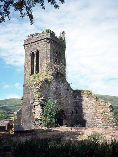 Séipéal an Clochán [Cloghane Church]church/chapel · 83 yd
 Cloghane ChurchRuins · 86 yd
 Fairy fort / earthen ringfort in Baile Na LeacanFairy fort / earthen ringfort · 92 yd
 Man-made underground passage in An Droim ThiarMan-made underground passage · 1244 yd
 An CheapaighBeach / strand · 1.4 mi
 Drom BeachBeach / strand · 1.4 mi
 An t'Oileán DubhIslet · 1.5 mi
 World War II plane crash site: Engine of Focke-Wulf Fw 200 CondorHeritage attraction · 2.1 mi
 Site of CastleCastle, unclassified · 2.4 mi
 Pointe na CathrachHeadland · 2.4 mi
 Barr an GhéaráinMountain / peak · 2.6 mi
 Na PóirtMountain / peak · 2.7 mi
Other information
Photo: Credit not shown in the picture search · Rights wording not checked; contact us if this picture should be removed