
What is recorded here
Two earthen rings still circle a forgotten chamber above the Owenmore estuary, their inner wall rising two and a half metres before a swallowed ditch. People built that much resistance against rain, time and invasion, then lived inside the danger until cultivation ridges cut through the middle like knife marks. A straight field wall now slices through one side, treating ancient defensiveness as an obstacle to be removed rather than a warning to be heard.
Internal diam. 25.4m
A bivallate rath situated on an ESE facing slope overlooking the estuary of the Owenmore river. About 50m to SW, a small river flows ESE towards the estuary. The banks have been levelled to NW and a straight field wall now defines this side; the banks around the remainder of the perimeter are densely overgrown. The inner bank rises up to 1.5m above the interior and up to 2.5m above the base of the fosse; it is 4.8m wide at base. The fosse has been filled in along the E half of the site, but is well-preserved in the SW sector where it is c. 2m wide at base and c. 2 to 3m deep below the crest of the outer bank. This latter is c. 3.7m wide at base and 1m high externally; for a short distance at SE, it is obscured by a NE-SW running field wall. There are intermittent traces of drystone facing on the inner flanks of both banks. The interior is traversed by a series of cultivation ridges. An Seabhac (1939, 227) recorded a Man-made underground passage in a ringfort in this townland, but it is not clear to which of the 3 known ringforts he refers.
The above description is derived from J. Cuppage, ‘Corca Dhuibhne. Dingle Peninsula archaeological survey. Ballyferriter. Oidhreacht Chorca Dhuibhne’ (1986), no. 335. In certain instances the entries have been revised and updated in the light of recent research.
Date of upload: 6 August 2013
The monument record does not grant public access. Check the route and ask the landowner before entering private land.
- What survives
- Recorded monument
Places near here
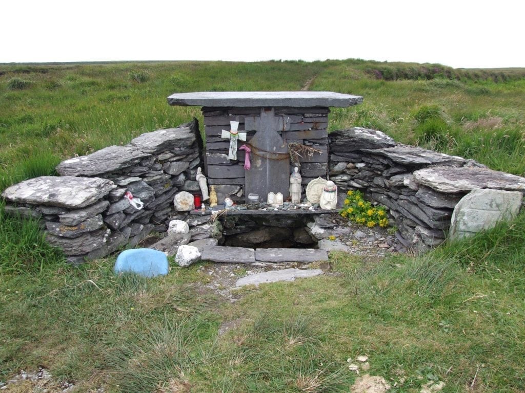 St. Brendans WellHoly well · 92 yd
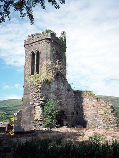 Séipéal an Clochán [Cloghane Church]church/chapel · 160 yd
 Cloghane ChurchRuins · 161 yd
 Man-made underground passage in An Droim ThiarMan-made underground passage · 1257 yd
 An CheapaighBeach / strand · 1.4 mi
 Drom BeachBeach / strand · 1.4 mi
 An t'Oileán DubhIslet · 1.4 mi
 World War II plane crash site: Engine of Focke-Wulf Fw 200 CondorHeritage attraction · 2.1 mi
 Pointe na CathrachHeadland · 2.4 mi
 Site of CastleCastle, unclassified · 2.4 mi
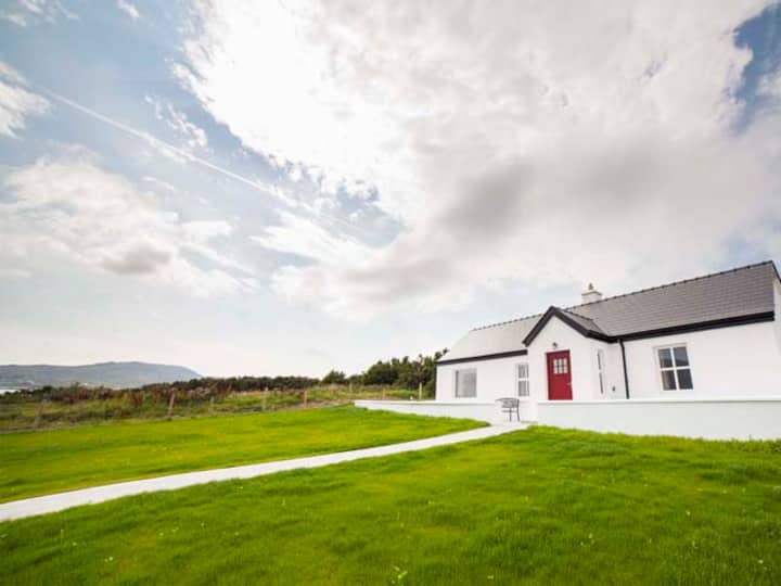 Barr an GhéaráinMountain / peak · 2.6 mi
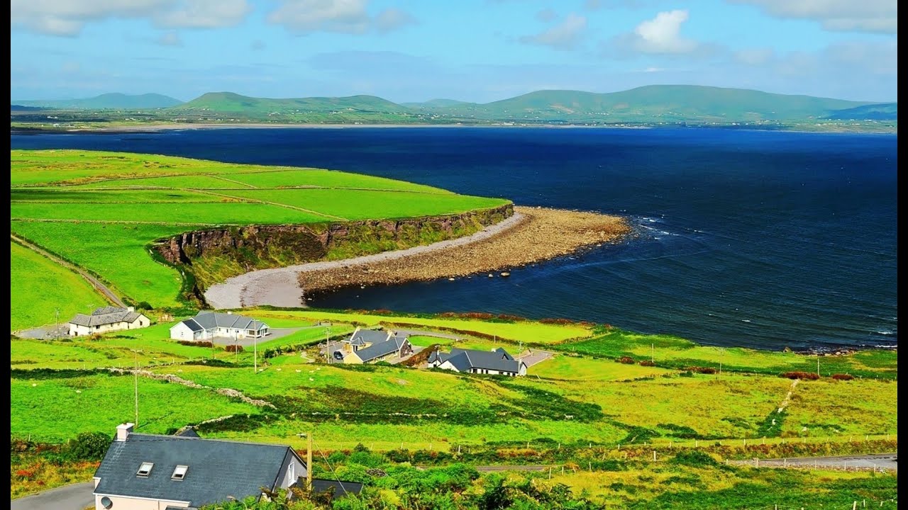 Na PóirtMountain / peak · 2.7 mi
Other information
Photo: Credit not shown in the picture search · Rights wording not checked; contact us if this picture should be removed