What is recorded here
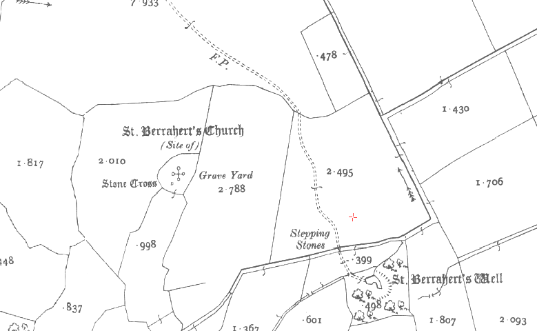
In wet, marshy terrain. A recent wooden plank walk-way has been constructed across the marsh to give access to the well, which otherwise is very difficult. The holy well consists of a large, roughly circular area (diam. c. 30m) defined from NW-N-E-S by a bank (Wth crest 2.9-3.3m; Wth base 6-7.2m; int. H 1.45-1.75m; ext. H 0.73-0.8m at SE and NW respectively). The edge of the pool is not clearly defined in the S-W-NW sector, here the ground falls gradually towards the pool. The S bank runs into a field boundary which runs roughly E-W along the S side of the monument and joins with another field boundary which runs roughly N-S along the W side of the monument. The surrounding area and most of the S half of the enclosed pool, which is marshy, is covered in trees. Only the N half of the well is a pool, though the NW quadrant is heavily overgrown with water plants. The pool has bubbling spring water which is very clear (D 0.8-1m at least) and there is a channelled run-off in the NNE with a small foot-bridge over it. There are several rag bushes on the N side of the well which vary in size, age and species, including willow, holly, birch and oak. Suspended from the branches are ribbons, which are predominately red and green, CDs, rosary beads, scapulas, handkerchiefs and gloves as well as mugs. At the base of the oak tree there are various representations of Our Blessed Lady and prayers to saints, including one to Blessed Faustina Kowalska, a Polish nun who died in 1938 and was beatified in 1993. Though this is a recognised holy well it may have pre-Christian origins as a ritual pond.
Compiled by: Jean Farrelly
Date of upload: 26 August 2011
St. Berraherts Well is traditionally associated with Saint Berach, an early Irish Christian saint known for his ascetic life and miraculous healings. The well is believed to have curative properties, particularly for eye ailments and skin conditions, and is linked to local folklore involving the saint’s intervention in times of plague or illness.
The monument record does not grant public access. Check the route and ask the landowner before entering private land.
- What survives
- Recorded monument
Places near here
 CrossCross, High cross · 187 yd
 Site of St.Berriherts Church; Grave YardChurch · 188 yd
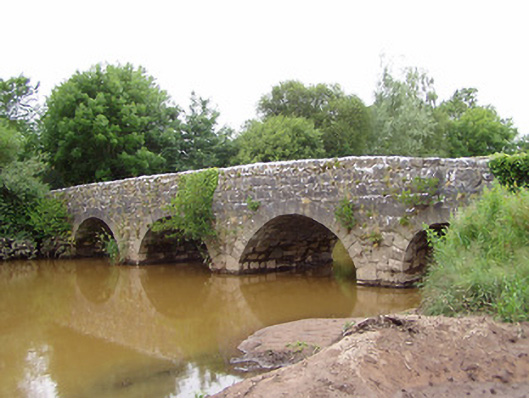 Ashgrove Bridgebridge · 871 yd
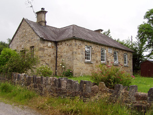 Ardane National Schoolschool · 1216 yd
 Ballydavid WoodWood · 1.6 mi
 SturrakeenMountain / peak · 1.7 mi
 Pedunculate OakPedunculate Oak · 1.9 mi
 Laghtshanaquilla North-East TopMountain / peak · 1.9 mi
 Cappa Castle (in ruins)Castle, tower house · 2.0 mi
 Cashlaunbeg (in ruins)Bawn · 2.0 mi
 The RockViewpoint · 4.0 mi
 Christ the KingViewpoint · 4.1 mi
Other information
Photo: Credit not shown in the picture search · Rights wording not checked; contact us if this picture should be removed