
What is recorded here
Situated on level, low-lying swampy ground with higher ground to the N, W and S and a gentle downhill slope to the E; 250m NE of Rampere chapel site (WI020-018----). Strong spring now contained within a concrete shaft. The Patron day was on the 20th of August until the 1930s when it was closed after a faction fight.
The above description is derived from the published 'Archaeological Inventory of County Wicklow' (Dublin: Stationery Office, 1997). In certain instances the entries have been revised and updated in the light of recent research.
Date of upload/revision: 17 December 2008
St. Bernards Well is associated with St. Bernard of Clairvaux, a 12th-century Cistercian reformer venerated for his spiritual influence and miracles. Traditionally, such wells were sites of pilgrimage and healing, where water was believed to have curative properties, particularly for ailments of the skin and eyes.
The monument record does not grant public access. Check the route and ask the landowner before entering private land.
- What survives
- Recorded monument
Places near here
 Rampere Chapel (Site of)Chapel · 284 yd
 TobernasleigaHoly well · 561 yd
 Tinoran HillMountain / peak · 1327 yd
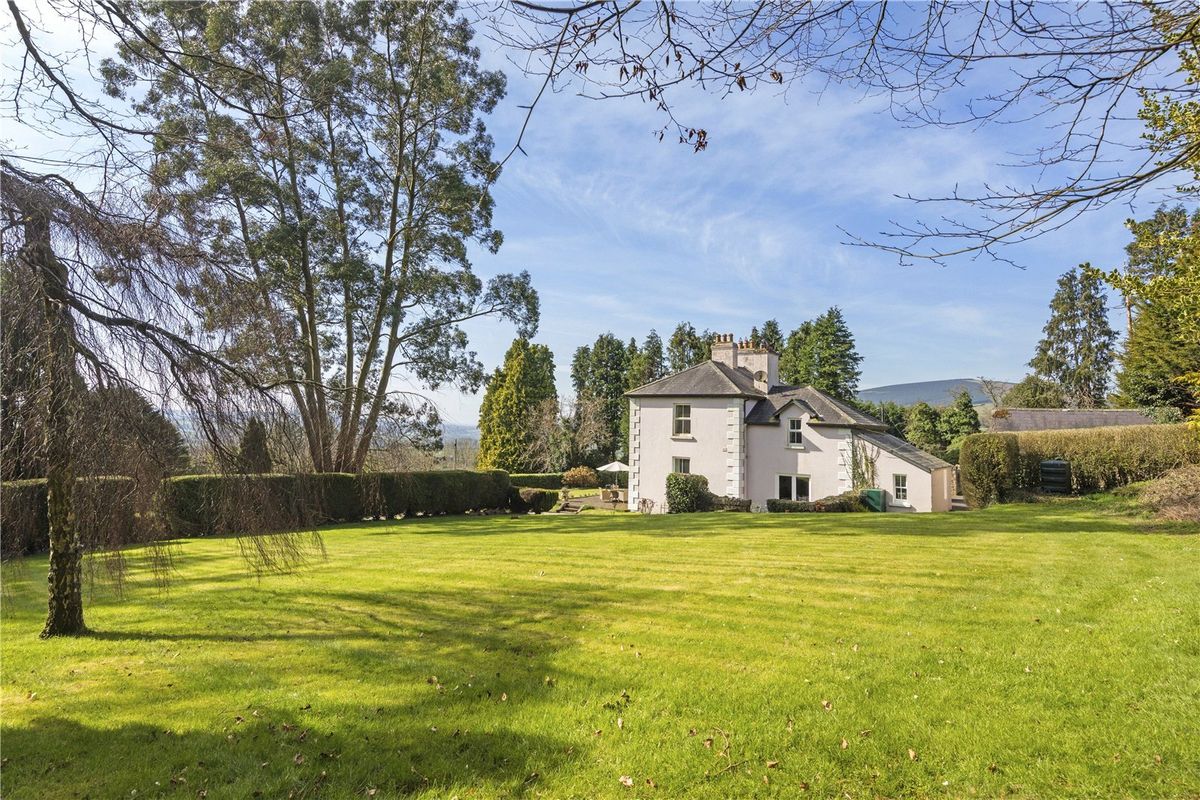 Goldenfort HouseRuins · 1703 yd
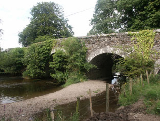 Tuckmill Bridgebridge · 1.2 mi
 CastleCastle, tower house · 1.9 mi
 Ballyhook HillMountain / peak · 2.4 mi
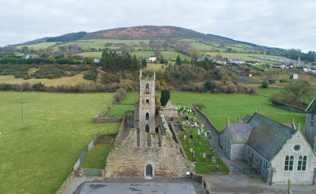 Ballycore RathCastle, motte and bailey · 3.0 mi
 European ashEuropean ash · 3.1 mi
 European LarchEuropean Larch · 3.6 mi
 Rahill Church (in ruins), GraveyardChurch · 4.1 mi
 Saint Brigit's Mass StoneNamed rock · 4.1 mi
Other information
Photo: Credit not shown in the picture search · Rights wording not checked; contact us if this picture should be removed