
What is recorded here
From OpenStreetMap (© OpenStreetMap contributors) n8633302261
Places near here
Photo credits
- Maker not stated on source page, www.ancient-origins.net
- Dylan Moore, Wikimedia Commons · CC BY-SA 2.0
- Maker not stated on source page, www.laoistoday.ie
- liam murphy, Geograph · Creative Commons Attribution-ShareAlike 2.0
- David Purchase, Wikimedia Commons · CC BY-SA 2.0
- Maker not stated on source page, en.wikipedia.org
- Maker not stated on source page, www.dreamstime.com
- Maker not stated on source page, tr.pinterest.com
- Darrin Antrobus, Geograph · CC BY-SA 2.0
- Meinirland.eu, Wikimedia Commons · CC BY-SA 3.0
- Sarah777, Wikimedia Commons · Public domain
- Maker not stated on source page, www.tripadvisor.com.tr
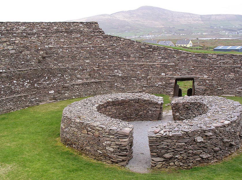 Fairy fort / earthen ringfort in Ballycarroll (maryborough East By.)Fairy fort / earthen ringfort · 222 yd
Explorer Tom Fairy fort in Ballycarroll would be the uncle at a wedding who refuses to dance. It has a proper entrance, but it just…
 Kilteale Church (in Ruins)Church · 706 yd
Explorer Tom Kilteale Church is hiding its one good eye. Legend says they tried to sell it for a horse, but the buyer backed out at…
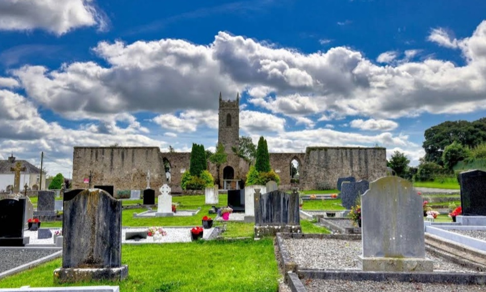 Mapped graveyardGraveyard · 710 yd
Explorer Tom Legend says this Mapped Graveyard in Laois was used for smuggling contraband tea, which is ridiculous because tea isn't…
 Holy Trinity Church (Kilteale)Church/chapel · 749 yd
Explorer Tom Holy Trinity Church (Kilteale) in Ballycarroll is dodging its nosey neighbours with style. It’s been standing since…
 Aghnahily RingfortArchaeological place · 771 yd
Explorer Tom Fairy fort / earthen ringfort in Wolfhill would be the first to dance at a wedding if it weren't so busy pretending it…
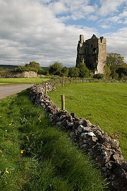 CastleCastle, unclassified · 778 yd
Explorer Tom The wind keeps picking on Kilteale Castle because it thinks it’s still standing tall. In reality, it’s just a very…
 Fairy fort / ringfort in KiltealeFairy fort / ringfort · 778 yd
Explorer Tom Fairy fort / ringfort in Kilteale would post a selfie of itself looking mysterious, captioned 'just vibing' while its…
 Fairy fort / earthen ringfort in AghnahilyFairy fort / earthen ringfort · 780 yd
Explorer Tom Fairy fort / earthen ringfort in Aghnahily thinks the road leading here is a terrible fashion choice. It sits proudly…
 Rock of Dunamase InformationVisitor information · 793 yd
Explorer Tom Rock of Dunamase Information in County Laois is where two local families have been feuding over who gets to see the…
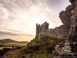 Rock of DunamaseCastle · 967 yd
Explorer Tom The Rock of Dunamase gives Laois a castle on a stone plinth, and I would have chosen the same address if anyone had…
 Rock of Dunamase, Castle (in Ruins)Castle, Anglo-Norman masonry castle · 990 yd
Explorer Tom Rock of Dunamase is the king of the hill who thinks he’s dating royalty but is actually just sitting on a rock with a…
 Dysart WoodsForest · 1561 yd
Explorer Tom Dysart Woods in County Laois would complain to the council about how everyone parks their cars on the grass, ruining…
More mountains and hills in County Laois · All of County Laois

What do you know about this place?Tap to add a comment or ask a question