
What is recorded here
From OpenStreetMap (© OpenStreetMap contributors) n8755132974
Places near here
Photo credits
- National Inventory of Architectural Heritage
- Ireland’s National Parks project; photographer not stated, Ireland’s National Parks project
- Maker not stated on source page, www.flickr.com
- Kmcnamee, Wikimedia Commons · CC BY-SA 4.0
- Phil Armitage, Wikimedia Commons · Public domain
- Maker not stated on source page, www.dreamstime.com
- Colin Park, Wikimedia Commons
- Maker not stated on source page, uk.pinterest.com
- dougf, Wikimedia Commons · CC BY-SA 2.0
- Maker not stated on source page, www.alamy.com
- Maker not stated on source page, en.wikipedia.org
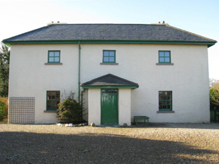
 Shean LodgeHunting/fishing lodge · 2.6 mi
Explorer Tom Shean Lodge in Sheeanmore means “She Who Is Very Tired” in ancient Gaelic, I’m pretty sure. A lord built it to fish…
 Lagduff LodgeHunting/fishing lodge · 2.9 mi
Explorer Tom Lagduff Lodge was built for fishing, but it looks more like a stage set for a rainy day drama. Imagine Henry John Grant…
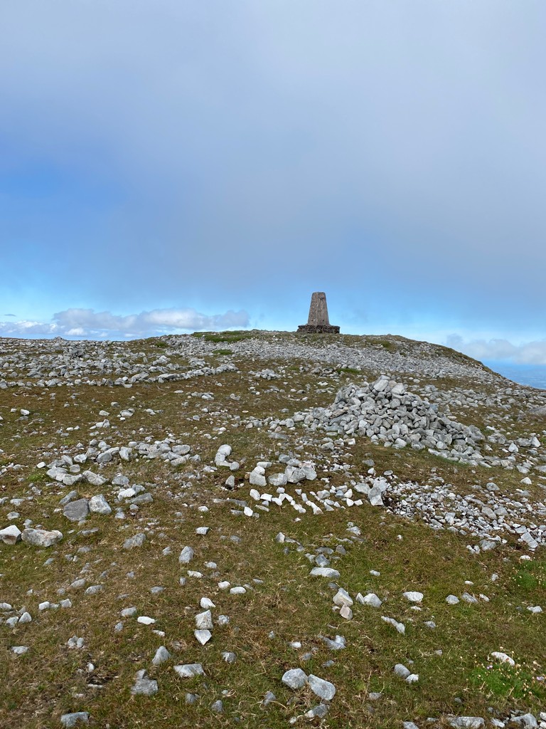 Slieve CarrMountain / peak · 3.2 mi
Explorer Tom Slieve Carr sits deep in County Mayo's Wild Nephin country, where mountains go looking for quiet. At 721 metres it is…
 Megalithic structure in LetteraMegalithic structure · 3.6 mi
Explorer Tom Megalithic structure in Lettera is being picked on by the wind because it stands too tall and doesn’t know when to shut…
 Ballycroy, Ballycroy GAAGAA ground · 4.2 mi
 Wild Nephin National ParkNature reserve · 4.2 mi
Explorer Tom Wild Nephin has room for a boast I cannot match: one of mainland Ireland's most remote points lies inside it. The Mayo…
 Cross-inscribed stone in LetteraCross-inscribed stone · 4.4 mi
Explorer Tom Cross-inscribed stone in Lettera confuses map makers because it refuses to stay vertical when the wind picks up. It…
 Nephin BegMountain / peak · 4.5 mi
Explorer Tom Nephin Beg belongs to the wild mountain country of north-west Mayo, where the map can look reassuringly small and the…
 IllanroeIslet · 6.0 mi
Explorer Tom Illanroe ended up in the wrong place because it got drunk one night and wandered off while looking for a friend. It…
 Fahy or Doona Castle in ruinsCastle, tower house · 6.9 mi
Explorer Tom Fahy or Doona Castle in ruins is hosting a fiddler who never left his post. He’s been playing since the last ice age…
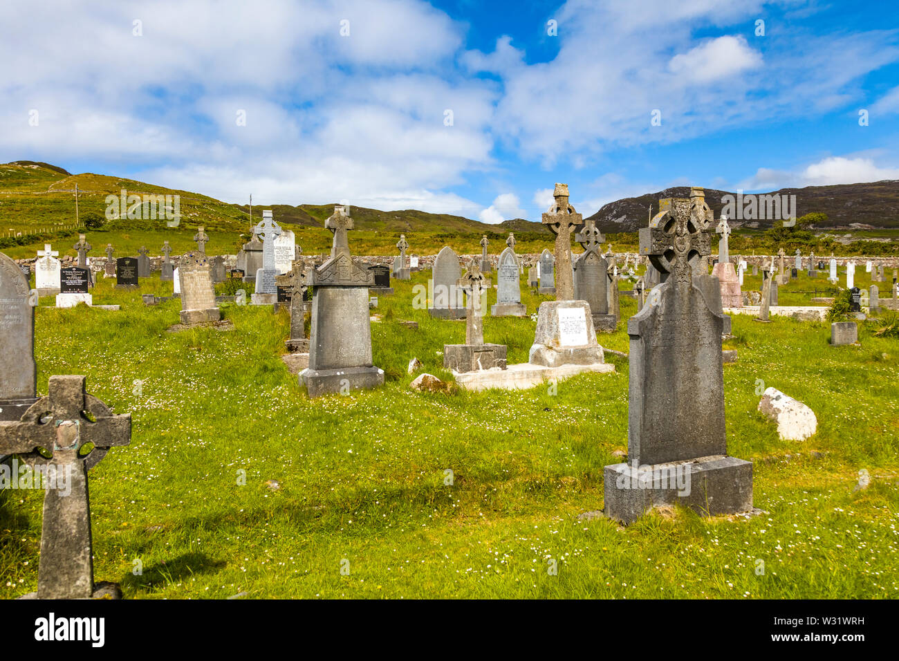 Geesala CemeteryCemetery · 7.6 mi
Explorer Tom Geesala Cemetery in County Mayo would be the quietest contestant on any reality show, just staring blankly at the…
 Polranny New CemeteryCemetery · 11 mi
Explorer Tom Polranny New Cemetery in County Mayo is right next to where a terrible love story ended with a broken fiddle and a very…
More mountains and hills in County Mayo · All of County Mayo

What do you know about this place?Tap to add a comment or ask a question