What is recorded here
Half a mile from Castle Emo, a small square graveyard vanished between map editions, leaving no stones, markers or grass outline behind. The 1841 survey still called it Skeaghnakilla, a name that may point to a thorn bush beside a holy or burial place, but later cartographers dropped it as though the field had never held the dead. Whatever hands dug those graves, the land took them back so completely that even memory seems to have walked away.
'Skeaghnakilla Graveyard' marked on the 1841 edition of the OS 6-inch map, as a small almost square area along a field fence, is not indicated on later map editions No visible surface remains.
The above description is derived from the published 'Archaeological Inventory of County Laois' (Dublin Stationery Office, 1995) compiled by P. David Sweetman, Olive Alcock and Bernie Moran. In certain instances the entries have been revised and updated in the light of recent research.
Date of upload: 17 December 2007
The monument record does not grant public access. Check the route and ask the landowner before entering private land.
- What survives
- Recorded monument
Places near here
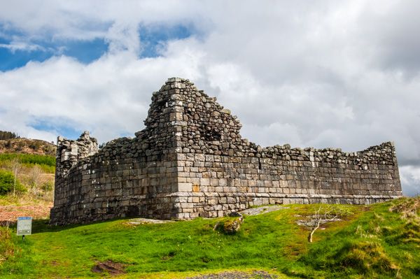 Doon FortFairy fort / earthen ringfort · 854 yd
 Pedunculate OakPedunculate Oak · 1105 yd
 Morett Castle (in ruins)House, fortified house · 1262 yd
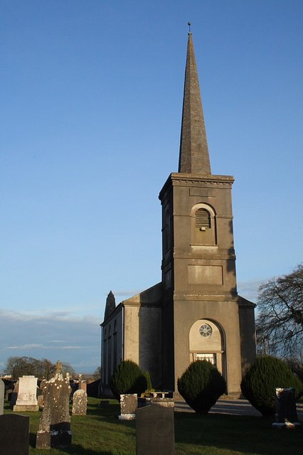 Saint John's Church (Coolbanagher)church/chapel · 1276 yd
 Morett Church (in Ruins)Church · 1427 yd
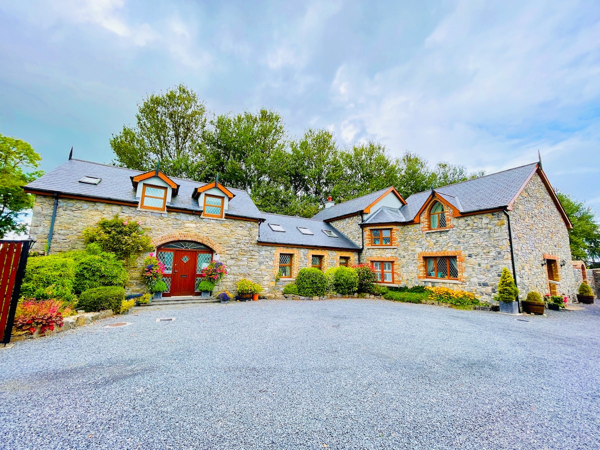 Rathnalulagh (Site of)Fairy fort / ringfort · 1639 yd
 Giant SequoiaGiant Sequoia · 1.4 mi
 Coolbanagher Castle (ruins)Castle · 1.4 mi
 Rock of DunamaseCastle · 3.8 mi
 Friary (in Ruins) GraveyardReligious house, unclassified · 3.8 mi
 Rock of Dunamase InformationVisitor information · 3.8 mi
 Church (in Ruins), GraveyardChurch · 4.0 mi