
What is recorded here
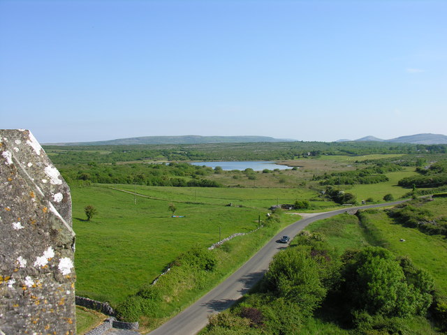
In pasture on the SW-facing slope of a broad hill, almost equidistant (c. 200m) from Toole’s Lough to the S, Knockaunadoo Lough to the W and the larger Lough Cullaun to the N, with clear views from SE to W. Hachured and labelled ‘Skaghavanoo’ the first edition (1842) of the OS 6-inch map and hachured and labelled ‘Skaghavanoo fort’ on the later, Cassini edition (1916). Classified as an enclosure in the RMP (1996). Described by MacNamara (1900, 31) as ‘a very fine earthen fort, 67 yards [c. 61m] in diameter, having a deep fosse’, and by Westropp (1900-2, 139; No. 44) who recorded that, ‘ … the head of a bossed Celtic cross (CL017-088003-) and the holy bush [CL017-088001-] which gives the place its name, remain near a large rath (CL017-088002-), with a Man-made underground passage (CL017-088004-) …’
A large circular bivallate rath (int. diams. 54.3m NNW-SSE, 53m ENE-WSW; ext. diams. 72.5m NNW-SSE, 71m ENE-WSW) is defined by an inner earthen bank, a fosse and a second, outer bank, all of which are well-preserved in the NE quadrant, but have been much reduced elsewhere. The inner bank (Wth 8.5m; int. H 0.8m; ext. H 1.6m) is best preserved at N. The fosse (Wth at base 1.5m; Wth at top 6m; D 0.9-1.1m) is traceable from WNW-N-E but is reduced to a berm from E-S. The outer bank (Wth 2.5-4m; ext. H 0.3m) can be traced from WNW-N-ENE. There is a possible entrance (Wth 4m) defined by a slight causeway and a gap in the outer bank at NNW. The interior slopes down to the S and contains a Man-made underground passage 9CL017-088004-) in the E sector.
Compiled by: Gearóid Conroy and Eve Campbell
Date of upload: 21-10-2025
A local fairy fort (ringfort/rath); wider significance not recorded.
The monument record does not grant public access. Check the route and ask the landowner before entering private land.
- What survives
- Recorded monument
Places near here
 CrossCross, High cross · 51 yd
 Church in KellsChurch · 553 yd
 Enclosure in KellsEnclosure · 604 yd
 Ballyportry Castlecastle/fortified house · 1416 yd
 Ballyporty Castle (in ruins) / TowerCastle, tower house · 1417 yd
 IndicatedBawn · 1418 yd
 Battle of TullyodeaBattlefield · 1.6 mi
 Rock IslandIsland · 2.4 mi
 Inchiquin IslandIslet · 2.5 mi
 Burren National ParkVisitor information · 2.8 mi
 Dromore WoodWood · 3.5 mi
 Mullagh MoreMountain / peak · 3.6 mi
Other information
Photo: Credit not shown in the picture search · Rights wording not checked; contact us if this picture should be removed