
What is recorded here
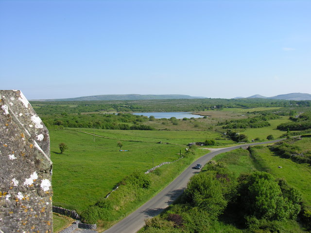
In reclaimed pasture on a S-facing slope overlooking marshy ground to the S. Hachured on both the first (1842) and Cassini (1916) editions of the OS 6-inch maps. A subcircular enclosure (est. diams. c. 32m E-W; c. 30 N-S) depicted on the OS 6-inch maps within a matrix of small fields orientated N-S has since been levelled. While no visible surface traces exist, subsurface archaeological deposits may well survive intact.
Compiled by: Gearóid Conroy and Eve Campbell
Date of upload: 20-10-2025
A local fairy fort (ringfort/rath); wider significance not recorded.
The monument record does not grant public access. Check the route and ask the landowner before entering private land.
- What survives
- Recorded monument
Places near here
 CrossCross, High cross · 584 yd
 Skaghabanoo / HachuredFairy fort / earthen ringfort · 604 yd
 Church in KellsChurch · 1075 yd
 Ballyportry Castlecastle/fortified house · 1117 yd
 Ballyporty Castle (in ruins) / TowerCastle, tower house · 1118 yd
 IndicatedBawn · 1118 yd
 Battle of TullyodeaBattlefield · 1.5 mi
 Rock IslandIsland · 2.2 mi
 Inchiquin IslandIslet · 2.3 mi
 Burren National ParkVisitor information · 3.0 mi
 Dromore WoodWood · 3.5 mi
 Ballygriffy WoodWood · 3.5 mi
Other information
Photo: Credit not shown in the picture search · Rights wording not checked; contact us if this picture should be removed