
What is recorded here
Half a mile from the new town, the old town still breathes under grass. Sheep walk across its streets, their hooves pressing into walls no one remembers building. The people left after a battle, but the ground kept every footprint. Granard moved, yet Granard never stopped speaking.
On a terrace on a W-facing slope in pasture, c. 1km to the SW of the modern town of Granard. Marked on the OS 6-inch maps as 'Old Town of Granard (Site of)' because in 1837 O’Donovan recorded that the 'town of Granard was removed from its original site shortly after the Battle of Aughrim [1691]. It stood originally near the present R.C. Chapel, in the townland of Granardkille, where its ruins are yet traceable' (OSL, 23 4). According to local tradition, it was believed to be the site of the historically attested Anglo-Norman borough of Granard (see LF010-055----). There is little doubt but that these earthworks are the remains of a settlement mentioned in 1611 in a lease from the King to Richard Hardinge, which listed 'One ruinous church [LF010-078002-], 3 messuages [dwellings], 40a arable and 30a pasture, parcel of the lands of the hospital of St Patrick [LF010-078003-], called Granard Kille in O'Ferrall's country; rent 1[pound] 10s [shillings] 0d [pence]' (Cal. pat. Rolls Ire., Jas I, 213). The settlement extends over c. 2.5 hectares and comprises up to 25 houses and hut sites as well as a series of rectangular, wedge and D-shaped enclosures of various sizes, and some grassed-over streets (O’Conor 2006, 319). Archaeological research excavations were carried out over three seasons between 2002 and 2004 in order to establish, primarily, the date of the earthworks (ibid.). One house site and two enclosures were partially excavated, yielding evidence dating to the 16th and early 17th centuries (O'Conor and Dillon 2002, 137-8, O’Connor 2006, 319; 2007, 251). The house was of sod construction and crucks may have supported its roof. The various enclosures around the site were the remains of stock enclosures and vegetable gardens or small arable fields (O’Conor 2006, 319). Evidence indicating early medieval occupation, in the form of a rubbish pit (LF010-078007-) and a Man-made underground passage (LF010-078005-), was also uncovered as well as a possible Bronze Age pit burial (LF010-078006-) (ibid.). However, no finds of Anglo-Norman date were found – suggesting that the borough was located elsewhere – possibly in Moatfield, to the W of the motte and bailey (LF010-080001-) (ibid.; O’Conor and De Meulemeester 2007, 91).
Compiled by: Patrick F. O'Donovan
Date of upload: 9 December 2013
This monument is subject to a preservation order made under the National Monuments Acts 1930 to 2014 (PO no. 6/1973).
The monument record does not grant public access. Check the route and ask the landowner before entering private land.
- What survives
- Recorded monument
Places near here
 Church in GranardkillChurch · 215 yd
 St. Patricks WellHoly well · 603 yd
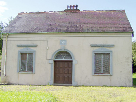 Granard Masonic Hallmasonic lodge/hall · 787 yd
 Moat of GranardCastle, motte and bailey · 1058 yd
 CastleCastle, unclassified · 1069 yd
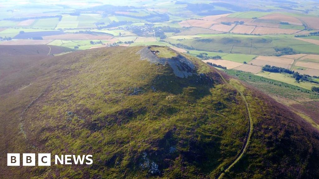 Hillfort in Granard,moatfield,teemoreHillfort · 1070 yd
 Granard MotteMotte-and-bailey castle remains · 1086 yd
 1798 Monumentmonument · 1229 yd
 Clonfin Ambush MemorialMemorial · 3.0 mi
 Cloonfin WoodForest · 3.4 mi
 CartronfreeMountain / peak · 3.6 mi
 Derrycassan WoodsWood · 4.0 mi
Other information
Photo: Credit not shown in the picture search · Rights wording not checked; contact us if this picture should be removed