
What is recorded here
British soldiers stripped Moher Fort during the Napoleonic Wars to build a signal tower, yet the Cliffs of Moher still carry its name. Three curved banks and two ditches remain beneath wet pasture, marked by a modern wall and quarry scars rather than a visible gate. The sea cliffs cut off three sides, leaving only the landward defences to imagine. What was taken to watch for French ships still watches through the name written on every map.
In wet pasture on a roughly triangular-shaped promontory (c. 90m E-W; max. 65m N-S) on the landward side of Hag’s Head with sea cliffs and very steep slopes at S, W and N. Labelled ‘Site of Moher Fort’ on both the first (1842) and Cassini (1920) editions of the OS 6-inch map. Partly hachured and labelled ‘Moher Fort (Site of)’ on the OS 25-inch plan (1897). The fort’s name is variously recorded as Mothar Ui Ruis / Mothar Ui Ruain / Mohar-Ui-Ruaidhin / Cahermore in different sources (Comber 1997, 95; Westropp 1905, 359; Cunningham 1980, 71; Jordan 1991, 49). This coastal promontory fort is defined on the seaward side (from S-W-N- ENE) by cliffs with the promontory cut off on the landward side (from ENE-E-S), by a series of three, denuded curvilinear banks with two intervening fosses. These defences have been bisected by a modern stone wall, and are best preserved near the Nedge of the promontory. The innermost bank (Wth 3.5m; H 0.25m) has been reduced to a scarp along the north, is disturbed by a modern wall along the south and is very faintelsewhere. The fosseoutside it is well-defined, steep-sided and flat bottomed (Wth 6m; D 0.55m). The middle bank is also well-defined (H 1.1m; Wth 3.5m) and round-topped. The fosse outside it is shallow (D 0.15m), and flat bottomed (Wth 4.2m). The third, outer bank is only visible intermittently, having been reduced to a scarp near the
middle, and there is a well-defined berm (H 1.1m) immediately outside it (combined bank and berm Wth 9m). All the defences have been disturbed by quarrying activities at the N cliff edge, and by a stone wall and a path running through the centre, and there is no trace of an original entrance.
According to Westropp (1905, 359) part of a stone wall surrounding the promontory fort was still standing in 1780, however, much of the promontory fort was levelled and used as material for a signal tower (CL014-010002-) built by the British on the promontory during the Napoleonic Wars. Subsequently, a small World War II lookout post was built beside the signal tower. The Cliffs of Moher, extending N from this promontory, are named after the fort.
Compiled by: Gearóid Conroy and Conn Herriott
Date of upload: 3-10-2025
This remains an important historical record, but the official description says the monument is no longer visible or has been destroyed. The monument record does not grant public access. Check the route and ask the landowner before entering private land.
- What survives
- No visible remains or recorded as destroyed
Places near here
 Moher TowerRuins · 24 yd
 Sightseeing Cliffs of Moher SouthViewpoint · 98 yd
 Kilconnell Children's Burial GroundArchaeological place · 1637 yd
 Promontory fortPromontory fort, coastal · 1.1 mi
 Cliffs of MoherCliff · 1.3 mi
 CastleCastle, unclassified · 1.4 mi
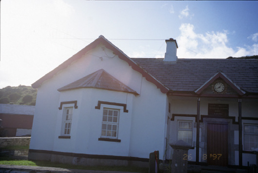 Saint Bridget's National Schoolschool · 1.8 mi
 Bridget's Well;St Bridget's WellSpring · 1.9 mi
 Sea StackMountain / peak · 2.3 mi
 Cliffs of Moher Visitor CentreVisitor information · 2.4 mi
 John P. Holland CentreMuseum · 3.1 mi
 Liscannor Castle (in Ruins)Castle, tower house · 3.2 mi
Other information
Photo: Credit not shown in the picture search · Rights wording not checked; contact us if this picture should be removed