What is recorded here
Site of Kiltinan Village is a settlement deserted (medieval) in Kiltinan, County Tipperary, Ireland. It stood on a north-south ridge beside the Clashawley River, with documentary evidence dating from 1199 to the 15th century. Aerial photographs from the 1960s and 1970s showed a hollow-way through the centre, six linear plots to the east and paddocks to the west. A 2011 Lidar survey extended the village south of the church, placing the castle near the eastern edge overlooking the river.
Village on a N-S ridge with the Clashawley River, flowing within a deep river valley at this point, roughly N-S along the E side of the village. The Ormond Deeds record that between 1199 and 1206 Roger de Worcester restored ‘the vill of Kiltevenan’ [Kiltinan], to his brother Philip’ (COD vol. 1, 9). The rents of service for the Baronies of Kilteven [Kiltinan] and Knockgraffon in 1308-09 state that ‘The burgesses of the town of Kyltewnan hold their burgages by service of vj marks iijd. per annum’ (COD vol. 1, 164). In 1358 at the Pleas of Assizes held at Clonmel, the reeve and community of ‘Kiltevenan’ [Kiltinan] gave 2s. fine for the assize of bread and ale (COD vol. 2, 38). In 1371, ‘John de Bermyngham, lord of Knockgraffon, gives and grants to James le Botiller, Earl of Ormond, 20l of annual rent payable out of his manors of Knockgraffon and Kylteuenan [Kiltinan]’ (COD vol. 2, 123). In 1396, ‘Walter Bermyngham, knight, gives and grants to Thomas son of Walter Bermyngham of Clonchest, his heirs and assigns, the manors of Knockgraffon and Kiltevenan [Kiltinan]’ (COD vol. 2, 229-30). In 1432 the reeve and community of Kyltevenan are summoned to attend the Liberty Court in Clonmel (COD vol. 3, 95). In the 15th century the manor passed to the Butlers of Dunboyne and remained in their hands until confiscated following the 1641 Rising. This village is indicated on the 1st (1840) and 2nd (1903-04) ed. 6-inch OS maps as earthworks representing linear plots and small rectangular fields or paddocks, with Kiltinan church (TS070-101001-) and graveyard (TS070-101002-) on the crest of the hill, at the SW edge of the village and Kiltinan castle (TS070-101004-) below the crest of the hill to the SE. Aerial photographs (CUCAP BGK 66 and 68) taken in the 1960-70s provide a clear picture of the settlement with a hollow-way running roughly N-S though the centre of the village, with a series of 6 linear plots running E-W to the E of the hollow-way and paddocks to the W. These earthworks were ploughed out in the 1980s. A recent Lidar survey (Steve Davis, 09/11/2011) indicates that the village extended S of the church, with linear plots running E-W to the W of the modern road and smaller irregular plots to the E of the modern road, between it and the main avenue to Kiltinan castle. This would place the medieval church roughly in the centre of the village and the castle roughly at a mid-point along the eastern edge, overlooking the river.
Compiled by: Jean Farrelly
Date of revised upload: 01 December 2014
The monument record does not grant public access. Check the route and ask the landowner before entering private land.
- What survives
- Recorded monument
Places near here
 Kiltinan Church (in ruins)Church · 207 yd
 CastleCastle, Anglo-Norman masonry castle · 306 yd
 Pedunculate OakPedunculate Oak · 332 yd
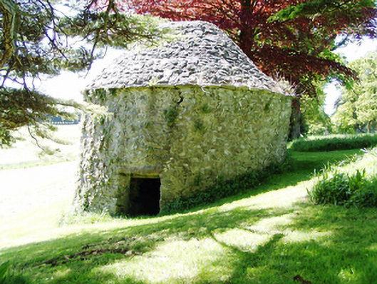 Kiltinan Castledovecote/pigeon house/aviary · 428 yd
 Enclosure in Strike LowerEnclosure · 768 yd
 IndicatedEnclosure · 1234 yd
 Killusty CastleCastle · 1.2 mi
 Grove WoodForest · 1.3 mi
 East GateMemorial · 2.2 mi
 CarrigdotiaMountain / peak · 2.5 mi
 CarrickbrockMountain / peak · 2.6 mi
 Grove Housegates/railings/walls · 507 yd