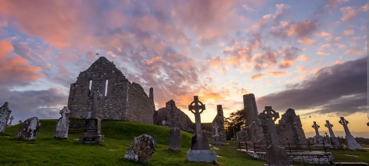
What is recorded here
Kilcommadan Church stood inside an early ecclesiastical enclosure in County Galway, its unroofed rectangular frame aligned east to west. A stony foundation about ten metres long marked the site until farm buildings swallowed the last visible trace. The church may have served a small community for generations before becoming a memory, but even forgetting leaves a shape behind: a flat rectangle of stones, a field altered, a name preserved in local speech.
In SW quadrant of a probable early ecclesiastical enclosure (GA087-126001-). The OS Letters (O'Flanagan 1927, Vol. 1, 556) refer to 'the old church of Kilcommadan', and it is shown on 1st ed. of OS 6-inch map as an unroofed rectangular building aligned E-W. According to local information, a large subrectangular stony foundation measuring c. 10m by c. 6m marked its site until recently. However, due to the construction of farm buildings in the vicinity, no visible surface trace now survives. A CBG (GA087-126003-) is associated.
The above description is derived from the published 'Archaeological Inventory of County Galway Vol. II - North Galway'. Compiled by Olive Alcock, Kathy de hÓra and Paul Gosling (Dublin: Stationery Office, 1999).
Date of upload: 05 August 2010
The monument record does not grant public access. Check the route and ask the landowner before entering private land.
- What survives
- Recorded monument
Places near here
 St. Commadans Holy WellHoly well · 333 yd
 Enclosure in Garrynamishaun OR Aughrim Plots,kilcommadanEnclosure · 630 yd
 Battle of AughrimMajor battlefield · 1032 yd
 The bloody HollowHeritage attraction · 1120 yd
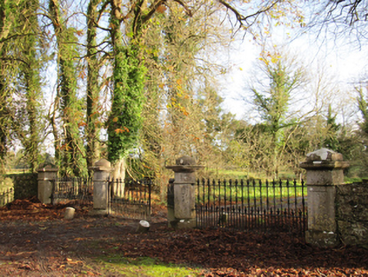 Liskelly Housedemesne walls/gates/railings · 1160 yd
 Battle of Aughrim Interpretative CentreMuseum · 1.1 mi
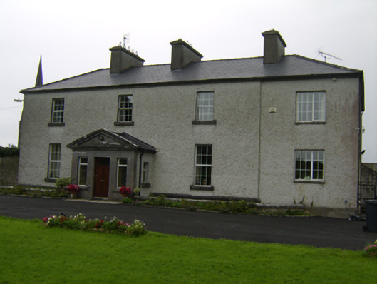 The Rectoryrectory/glebe/vicarage/curate's house · 1.2 mi
 Castle (Site of)Castle, Anglo-Norman masonry castle · 1.3 mi
 Urraghry HillMountain / peak · 1.7 mi
 Ballagh Castle (in Ruins)Castle, unclassified · 2.0 mi
 Oak WoodWood · 2.0 mi
 West WoodWood · 3.0 mi
Other information
Photo: Credit not shown in the picture search · Rights wording not checked; contact us if this picture should be removed