What is recorded here
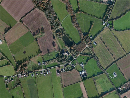
Located on an E-facing slope with the N-S Owenduff River c. 120m to the E. The site of the parish church of Kilscanlan (WX035-034001-) is within a graveyard depicted on the 1839 ed. of the map as a rectangular scrub-covered area (dims. c. 100m E-W; c. 60m N-S), although all of this area might not be the graveyard. There are no visible traces of a church or of burial in a pasture field.
Compiled by: Michael Moore
Date of upload: 15 October 2012
This remains an important historical record, but the official description says the monument is no longer visible or has been destroyed. The monument record does not grant public access. Check the route and ask the landowner before entering private land.
- What survives
- No visible remains or recorded as destroyed
Places near here
 site of ChurchChurch · 19 yd
 Field boundary in CarnaghField boundary · 1552 yd
 Carnagh Housecountry house · 1556 yd
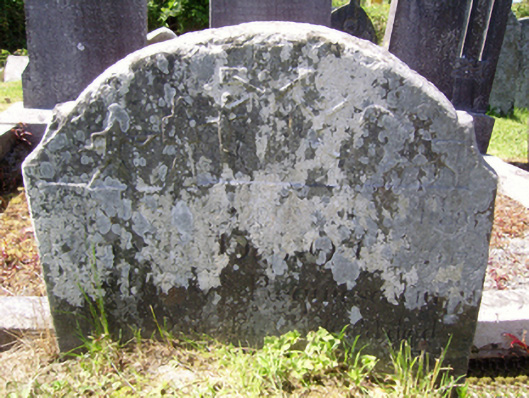 graveyard/cemeterygraveyard/cemetery · 1592 yd
 Castle in ruinsCastle, tower house · 2.3 mi
 Castle (in ruins)Castle, tower house · 2.3 mi
 Carrickbyrne HillMountain / peak · 2.9 mi
 Lacken HillMountain / peak · 3.7 mi
 Forest Of The DunbrodyForest · 4.0 mi
 Devon whitebeamDevon whitebeam · 4.5 mi
 Crutched FriarsMemorial · 5.2 mi
 Glenour MonumentMemorial · 5.7 mi