
What is recorded here
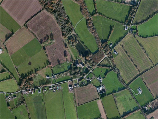
Situated on the SE-facing slope of a NW-SE ridge. Aerial photographs (WX035-085_1 to _5) taken in 2006 show the cropmark of a double-ditch boundary that is part of a field system whcih is probably post-medieval in date.
Compiled by: Michael Moore
Date of upload: 15 October, 2012
The monument record does not grant public access. Check the route and ask the landowner before entering private land.
- What survives
- Recorded monument
Places near here
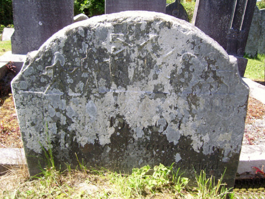 graveyard/cemeterygraveyard/cemetery · 373 yd
 Carnagh Housecountry house · 524 yd
 site of ChurchChurch · 1550 yd
 St. Colemans WellHoly well · 1.3 mi
 Castle (in ruins)Castle, tower house · 1.4 mi
 CastleCastle, unclassified · 2.0 mi
 SlievecoiltiaMountain / peak · 3.2 mi
 Carrickbyrne HillMountain / peak · 3.7 mi
 Devon whitebeamDevon whitebeam · 3.8 mi
 Forest Of The DunbrodyForest · 4.4 mi
 Crutched FriarsMemorial · 5.1 mi
 Coolcliffe HouseRuins · 6.1 mi
Other information
Photo: Credit not shown in the picture search · Rights wording not checked; contact us if this picture should be removed