
What is recorded here
The manor of Newbawn or Colp was held by de Londres of Rosegarland (WX040-042----) from the Devereux fief of Adamstown or Macherneyvn (WX031-019----) certainly in the 14th century (Brooks 1950, 103, fn), but by the 17th century it was held by Brownes of Mulrankin (WX047-031----). According to the Civil Survey (1654-6) William Browne owned a ruined castle and 800 acres as the manor of Newbawn in 1641 (Simington 1953, 94).
It is situated in a slight N-S valley. Only the NE wall (L 10m; H c. 6m) partly survives with a pointed doorway and yett towards the SE end, together with the lobby and its murder hole and the entrance to a mural stairs in the SE wall (L 9.7m). Fragments of the NW-SE barrel vault survive and there is a double splayed ope in the NE wall survives at ground level, while the opening in the SW wall is destroyed. At the first floor level beneath the vault a double-splayed ope survives in the NE wall. The interior is occupied by cairn material.
The above description is derived from the published 'Archaeological Inventory of County Wexford' (Dublin: Stationery Office, 1996). In certain instances the entries have been revised and updated in the light of recent research.
Compiled by: Michael Moore
Date of upload/revision: 15 October, 2012
The castle at Newbawn was held by the de Londres family of Rosegarland from the Devereux fief in the 14th century. It is remembered for its association with medieval landholding patterns and the broader historical context of Anglo-Norman influence in Ireland.
The monument record does not grant public access. Check the route and ask the landowner before entering private land.
- What survives
- Recorded monument
Places near here
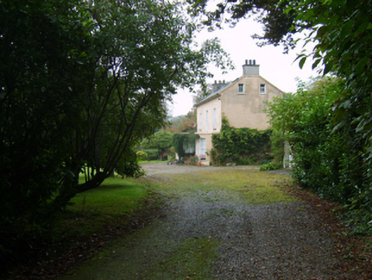 farm housefarm house · 293 yd
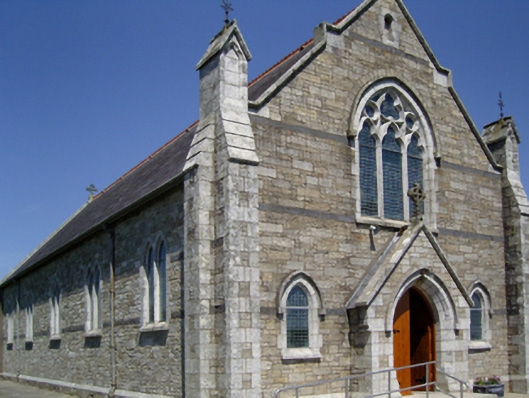 Catholic Church of the Sacred Heat of Jesus and the Immaculate Heart of Marychurch/chapel · 363 yd
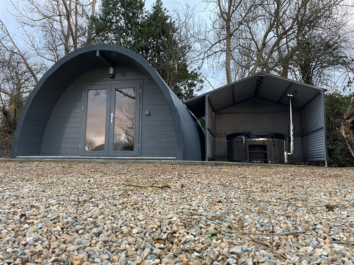 Embanked enclosureFairy fort / earthen ringfort · 1749 yd
 Site of Scullaboge BarnStructure · 1.2 mi
 Carrickbyrne HillMountain / peak · 1.7 mi
 Castle in ruinsCastle, tower house · 1.8 mi
 IndicatedCastle, motte and bailey · 1.8 mi
 Coolcliffe HouseRuins · 4.1 mi
 Glenour MonumentMemorial · 4.1 mi
 Camaross HillMountain / peak · 4.4 mi
 Forest Of The DunbrodyForest · 5.7 mi
 Carrig-On-BannowVisitor information · 7.8 mi
Other information
Photo: Credit not shown in the picture search · Rights wording not checked; contact us if this picture should be removed