What is recorded here
Situated on the E bank of the N-S Colligan River, c. 70m from the river bank and c. 40m S of buildings that were a corn mill. Marked as the site of a graveyard on the 1840 ed. of the OS 6-inch map, it is described as traces of a circular feature (Power 1952, 145). It is not now visible at ground level.
Power, Rev. P. (1952) The placenames of the Decies. (second ed.) Cork University Press.
The above description is derived from the published 'Archaeological Inventory of County Waterford' (Dublin: Stationery Office, 1999). In certain instances the entries have been revised and updated in the light of recent research.
Date of upload/revision: 19th August, 2010.
The monument record does not grant public access. Check the route and ask the landowner before entering private land.
- What survives
- Recorded monument
Places near here
 Enclosure in KilladanganEnclosure · 1 yd
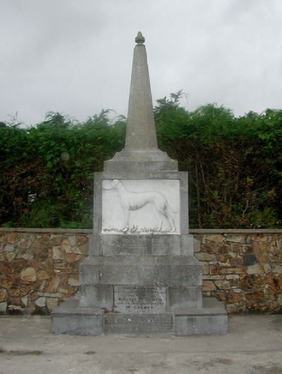 Master McGrath Monumentmonument · 958 yd
 Master McGrathMemorial · 959 yd
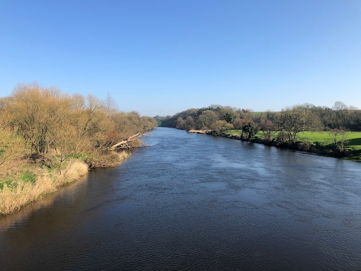 Enclosure in Ballyduff Beg,ballymacmague EastEnclosure · 1649 yd
 farm housefarm house · 1692 yd
 Castle (in ruins)Castle, tower house · 1.8 mi
 CastleCastle, motte · 1.8 mi
 Grattan SquareVisitor information · 2.2 mi
 Waterford County MuseumMuseum · 2.3 mi
 Dungarvan World War I MemorialMemorial · 2.4 mi
 Dungarvan CastleCastle · 2.4 mi
 Cunnigar PointHeadland · 2.7 mi