What is recorded here
Situated on flat marshy ground. Marked 'Site of Graveyard' on the 1840 ed. of the OS 6-inch map and traditionally known as 'Macomma's church' (Power 1952, 235). It is not visible at ground level. It is located 180m S of the stronghouse at Greenan (WA001-011----).
Power, Rev. P. (1952) The placenames of the Decies. (second ed.) Cork University Press.
The above description is derived from the published 'Archaeological Inventory of County Waterford' (Dublin: Stationery Office, 1999). In certain instances the entries have been revised and updated in the light of recent research.
Date of upload/revision: 23 December 2008
The monument record does not grant public access. Check the route and ask the landowner before entering private land.
- What survives
- Recorded monument
Places near here
 Site of Grave YardChurch · 1 yd
 Greenan Castle (in Ruins)House, fortified house · 208 yd
 Greenan MoteEnclosure · 313 yd
 Birdhillhouse · 634 yd
 Toberaheena WellSpring · 852 yd
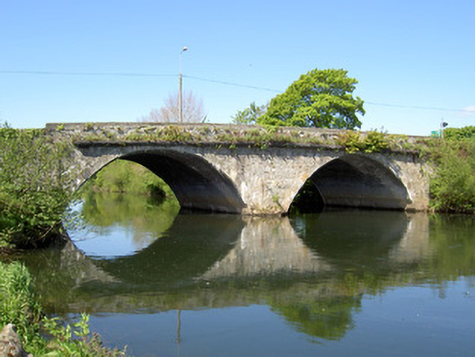 Workhouse Bridgebridge · 945 yd
 Crusader's GraveHeritage attraction · 1184 yd
 Kilmacomma HillMountain / peak · 1495 yd
 Siege of Clonmelsiege · 1561 yd
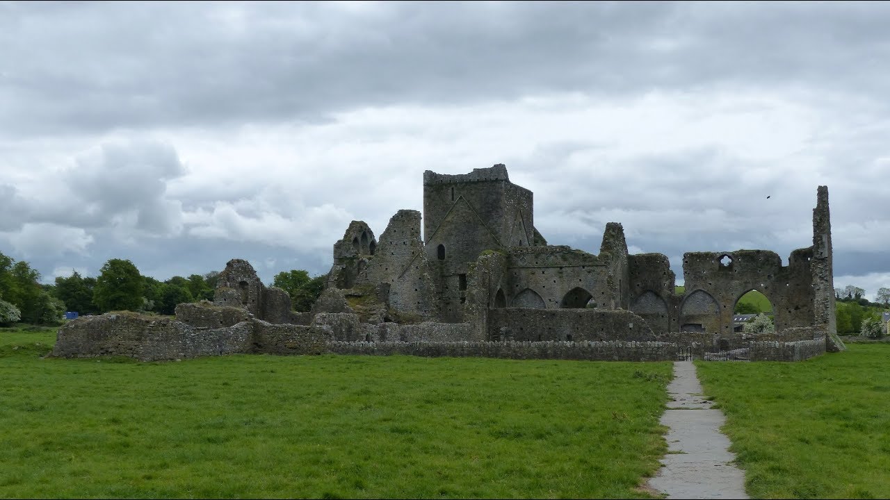 Gairdín Gharraí na LeadhbMemorial · 1635 yd
 Grubb's IslandIslet · 1719 yd
 Streches IslandIsland · 1.0 mi