
What is recorded here
Marked faintly as an oval feature (dims. c. 60m N-S; c. 30m E-W) on the 1840 ed. of the OS 6-inch map and as a scarped hillock on the 1922 ed. It is described as 'Greenan Mote' in both. It is situated in pasture on the W side of a low hill in the flood-plain of the W-E River Suir, and was described by Lyons (1934) as a low, flat and circular 'mote'. It was removed c. 1960, and is not visible at ground level.
Lyons, P. (1934) Miscellanea - Forts etc. near Clonmel. JRSAI 64, 261.
The above description is derived from the published 'Archaeological Inventory of County Waterford' (Dublin: Stationery Office, 1999). In certain instances the entries have been revised and updated in the light of recent research.
Compiled by: Michael Moore
Date of upload/revision: 20 January 2012
The monument record does not grant public access. Check the route and ask the landowner before entering private land.
- What survives
- Recorded monument
Places near here
 Greenan Castle (in Ruins)House, fortified house · 105 yd
 Site of Grave YardChurch · 313 yd
 Birdhillhouse · 331 yd
 TobernabeenaHoly well · 615 yd
 Toberaheena WellSpring · 622 yd
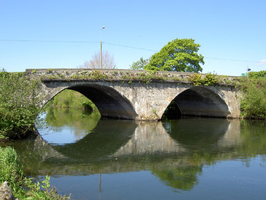 Workhouse Bridgebridge · 899 yd
 Crusader's GraveHeritage attraction · 1094 yd
 Siege of Clonmelsiege · 1468 yd
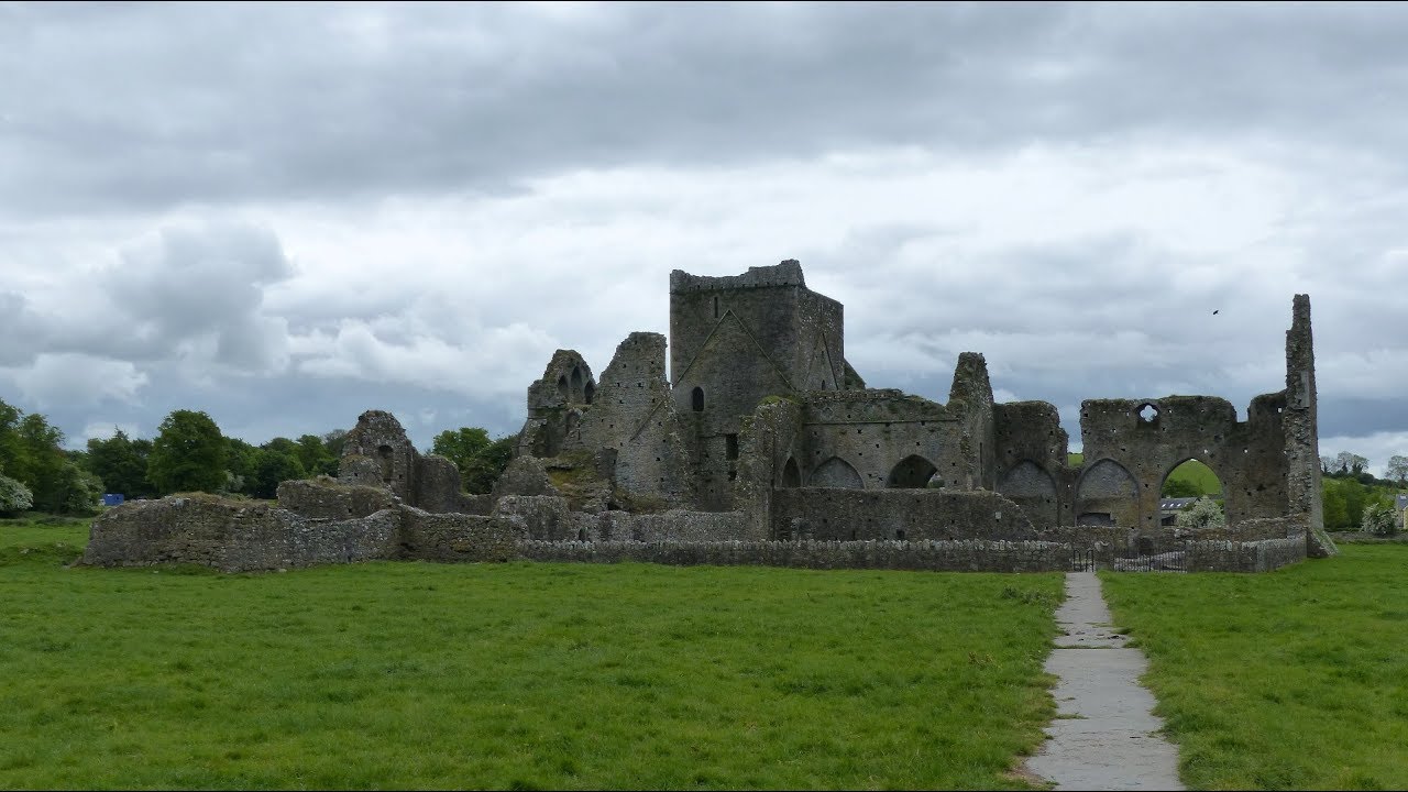 Gairdín Gharraí na LeadhbMemorial · 1550 yd
 Kilmacomma HillMountain / peak · 1686 yd
 Grubb's IslandIslet · 1713 yd
 Common LimeCommon Lime · 1732 yd
Other information
Photo: Credit not shown in the picture search · Rights wording not checked; contact us if this picture should be removed