What is recorded here
Marked as 'Church (site of)' on the 1839 and 1940 eds of the OS 6-inch map, with a faint outline of a structure (L c. 10m E-W) indicated on the earlier map. It is situated on a level landscape c. 1km from the sea. There is no trace of a structure at ground level within a D-shaped graveyard (dims. 58m N-S; 54m E-W) defined by an earthen bank. It may have been a chapel connected with the 17th century house at Mount Prospect (WX007-049----) c. 400m to the W.
The above description is derived from the published 'Archaeological Inventory of County Wexford' (Dublin: Stationery Office, 1996). In certain instances the entries have been revised and updated in the light of recent research.
Compiled by: Michael Moore
Date of upload/revision: 15 March 2012
This remains an important historical record, but the official description says the monument is no longer visible or has been destroyed. The monument record does not grant public access. Check the route and ask the landowner before entering private land.
- What survives
- No visible remains or recorded as destroyed
Places near here
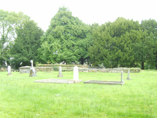 graveyard/cemeterygraveyard/cemetery · 9 yd
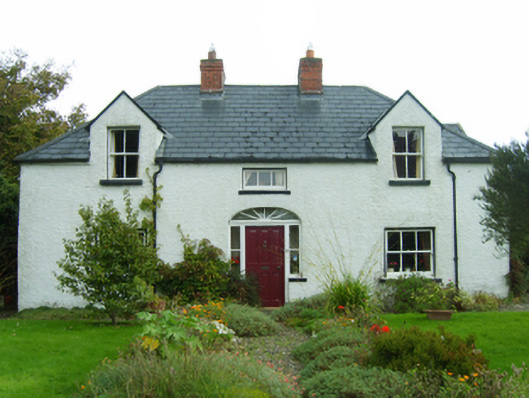 Dúnartfarm house · 488 yd
 Enclosure in BallycomcloneEnclosure · 1018 yd
 CopseFairy fort / earthen ringfort · 1728 yd
 Duffcarrig Rocks BeachBeach / strand · 1.1 mi
 Kia Ora Mini FarmHeritage attraction · 1.3 mi
 Tara HillMountain / peak · 1.5 mi
 Holm OakHolm Oak · 1.8 mi
 CastleCastle, unclassified · 1.8 mi
 Courtown WoodsWood · 1.9 mi
 Courtown Amusement CentreHeritage attraction · 2.3 mi
 Banoge HillMountain / peak · 3.0 mi