What is recorded here
Situated on a gentle SE-facing slope. The cropmark of a subcircular enclosure (int. dims c. 30m NE-SW; c. 25m NW-SE) defined by a wide fosse (Wth c. 3-5m) is visible on Google Earth (28/06/2018; 14/07/2018). There could be an entrance (Wth c. 3m) at N and the perimeter is cut by a NE-SW field bank at NE and overlain by a NE-SW field bank at SE. It was first reported by Simon Dowling. See the attached enhanced view from Google Earth
Compiled by: Michael Moore
Date of upload: 28 February 2020
From the National Monuments Service (Archaeological Survey of Ireland) record WX007-090
The monument record does not grant public access. Check the route and ask the landowner before entering private land.
- What survives
- Recorded monument
Places near here
Photo credits
- National Inventory of Architectural Heritage
- Lucarelli, Wikimedia Commons · CC BY-SA 3.0
- Sarah777 at English Wikipedia, Wikimedia Commons · Public domain
- Smirkybec, Wikimedia Commons · CC BY-SA 4.0
- Ryanforsyth9, Wikimedia Commons · CC BY-SA 4.0
- Ian Brooker and David Kleinig, Wikimedia Commons · CC BY 3.0 au
- Goreymurphy, Wikimedia Commons · CC BY-SA 4.0
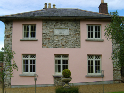 Kiltennell Parochial SchoolSchool · 561 yd
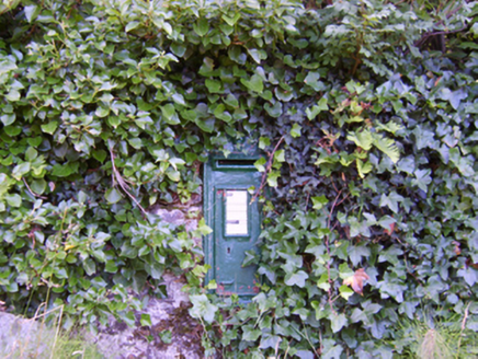 post box564 yd
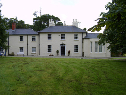 Kiltennell HouseRectory/glebe/vicarage/curate's house · 595 yd
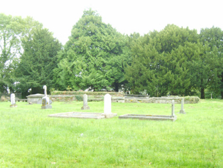 graveyard/cemetery1018 yd
 Holm Oak1.2 mi
 Tara HillMountain / peak · 2.0 mi
 Market HouseHeritage attraction · 2.8 mi
 1798 MonumentMemorial · 3.1 mi
 Johnston's gum4.3 mi
 Annagh HillMountain / peak · 8.2 mi
 Saint Brigid's WellSpring · 9.2 mi
 Brides WellHoly well · 9.2 mi
More archaeology and monuments in County Wexford · All of County Wexford
What do you know about this place?