
What is recorded here
In pasture, located in an expanse of marram grass-covered, undulating sand dunes on the W side of Killala Bay. The location of this church is marked 'Site of Church' on the 1838 OS 6-inch map, and the OS Letters (1838, p. 259 (135-6)) recorded the tradition that 'there was a church called Teampall Rinneáin at Ross, the site of which is now covered by sand. It was exactly opposite Bartra and was called by this name from its being situated at Rinnaun Point.' There is no visible trace of the church.
Compiled by: Jane O'Shaughnessy
Date of upload: 14 November 2017
This remains an important historical record, but the official description says the monument is no longer visible or has been destroyed. The monument record does not grant public access. Check the route and ask the landowner before entering private land.
- What survives
- No visible remains or recorded as destroyed
Places near here
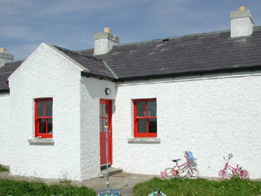 Ross Coastguard Stationcoastguard station · 318 yd
 Rinnaun PointHeadland · 793 yd
 RathmoreFairy fort / earthen ringfort · 1253 yd
 IndicatedFairy fort / earthen ringfort · 1754 yd
 Green IslandIslet · 1.0 mi
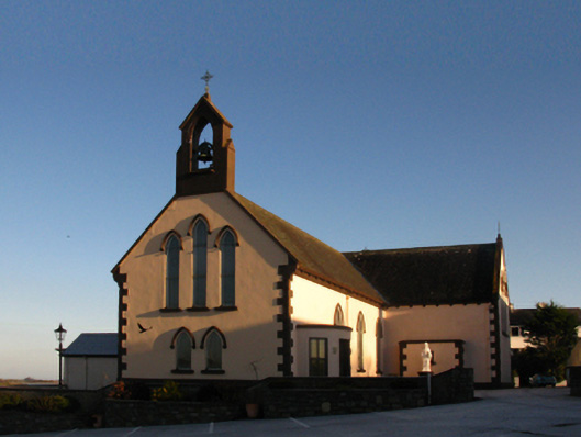 Saint Patrick's Catholic Churchchurch/chapel · 1.3 mi
 Battle of Killalabattle · 1.5 mi
 CastleCastle, unclassified · 1.5 mi
 Battlefields of MoyneBattlefield · 1.7 mi
 Bartragh IslandIsland · 1.8 mi
 CastlenageehaCastle, unclassified · 1.9 mi
 Moyne AbbeyHeritage attraction · 2.2 mi
Other information
Photo: Credit not shown in the picture search · Rights wording not checked; contact us if this picture should be removed