
What is recorded here
In pasture, located in a sheltered dip on the SW side of a low ridge, overlooking a valley of wettish pasture. A raised spur of the ridge blocks views to NW, and a low rise restricts views to NE. The shoreline of Killala Bay is 400m to E.
Raise oval area (29.8m E–W; 20m N–S) defined by the remnants of an earthen bank (Wth 4.6m; int. H 0.1m; ext. H 1.7m at S), reduced at NW–NE to a scarp (H 0.65m at N). The interior is level. Several low parallel linear ridges, on a roughly E–W axis, traversing the interior; these appear to be relict cultivation ridges. The W terminal of the most southerly cultivation ridge expands into a sod-coved stony mound (5.6m E–W; 2.6m N–S; H 0.6m), most likely a field clearance cairn. At NE traces of a levelled field fence, on a NW–SE axis, abut the bank.
Compiled by: Jane O’Shaughnessy
Date of upload: 6 December 2018
The monument record does not grant public access. Check the route and ask the landowner before entering private land.
- What survives
- Recorded monument
Places near here
 RathmoreFairy fort / earthen ringfort · 646 yd
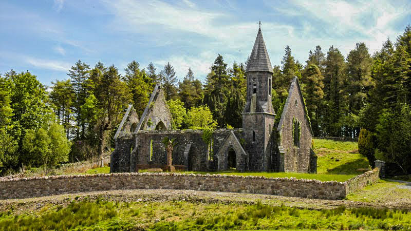 RathwanowenFairy fort / earthen ringfort · 898 yd
 Rinnaun PointHeadland · 1321 yd
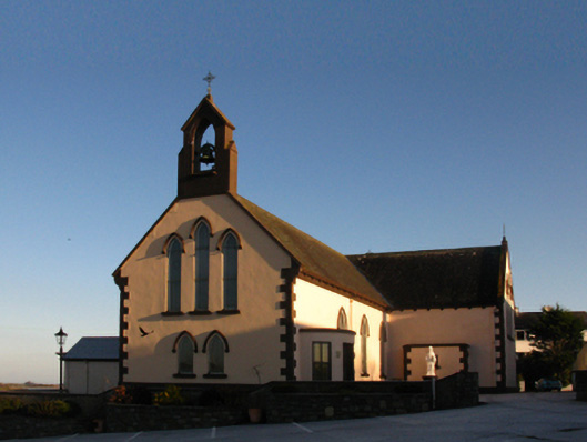 Saint Patrick's Catholic Churchchurch/chapel · 1499 yd
 Green IslandIslet · 1562 yd
 The Old Deaneryrectory/glebe/vicarage/curate's house · 1723 yd
 Battle of Killalabattle · 1747 yd
 CastleCastle, unclassified · 1.0 mi
 Bawn in Meelick (tirawley By.)Bawn · 1.7 mi
 Battlefields of MoyneBattlefield · 2.1 mi
 TrabaunBeach / strand · 2.3 mi
 Bartragh IslandIsland · 2.5 mi
Other information
Photo: Credit not shown in the picture search · Rights wording not checked; contact us if this picture should be removed