
What is recorded here
Situated on the S bank of the W-E River Suir with the stream c. 80m to the N. Traditionally the church of Disert Nairbe was founded by St. Mogue of Ferns (Power 1896b, 6-8). It was also the parish church of Dysert within a rectangular graveyard (WA003-010002-) (dims. c. 50m E-W; c. 45m N-S) defined with masonry walls with an annexe (dims. c. 27m E-W; c. 22m N-S) at the NW angle. The foundations of the chancel and most of the S chancel wall survive (int. dims. 6m E-W; 5.1m N-S) attached to the E wall of an 18th-century C of I church, of which only the E gable remains. Within the chancel is a graveslab (dims. 2.3m x 0.98m; T 0.18m) of 1587 to a Butler Fitzgerot of Ballindysert and his wife, Johanna FitzRichards. Also within the chancel is a graveslab (dims. 2m x 0.93m; T 0.13m) of Charles Everard of Glen Lower (WA002-007----) and his wife Clarisa (?) Wale of Coolnamuck (WA003-008001-), dated 1643. A fragment of an octagonal font with a circular basin (int. diam. 0.3m), and two armorial stones are also in the graveyard. (Ryland 1824, 290-92; Martin 1874-5, 248-9)
The above description is derived from the published 'Archaeological Inventory of County Waterford' (Dublin: Stationery Office, 1999). In certain instances the entries have been revised and updated in the light of recent research.
Martin, Dr. (1874-5) Proceedings and papers, JRSAI 13, 247-50, 437, 479, 481.
Power, Rev. P. (1896b) The ancient ruined churches of Waterford. WAJ. 2, 2-15, 195-298.
Ryland, Rev. R. H. (1824) The History, topography and antiquities of the county and city of Waterford. John Murray. London.
Date of upload/revision: 20 July 2010
Traditionally founded by St. Mogue of Ferns, the church at Churchtown was likely established in the 7th or 8th century and served as the parish church for Dysert. Its dedication and early monastic associations reflect the influence of early Christian settlement in the region.
The monument record does not grant public access. Check the route and ask the landowner before entering private land.
- What survives
- Recorded monument
Places near here
 Grave YardGraveyard · 22 yd
 Maurice DavinMemorial · 78 yd
 Dysart HouseOfficially recorded historic building · 573 yd
 Ballydine Ho.Castle, unclassified · 708 yd
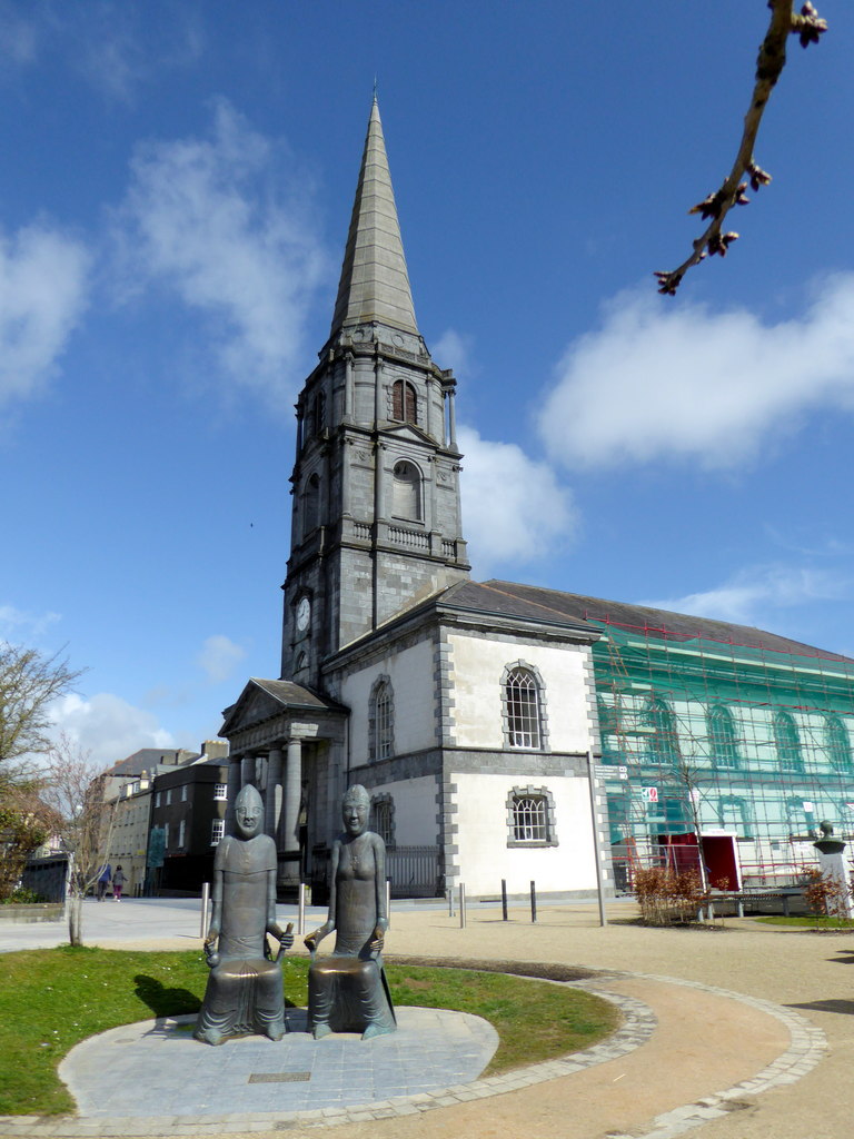 IndicatedEnclosure · 722 yd
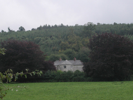 Churchtown Househouse · 1072 yd
 Churchtown WoodForest · 1216 yd
 Castle (in ruins)Castle, tower house · 1555 yd
 Coolnamuck Wood WestForest · 1.5 mi
 CarrigcoumMountain / peak · 1.9 mi
 Thomas KielyMemorial · 2.2 mi
 CarrigeenseebohillaMountain / peak · 3.4 mi
Other information
Photo: Credit not shown in the picture search · Rights wording not checked; contact us if this picture should be removed