What is recorded here
Depicted faintly as a rectangular structure (dims c. 10m E-W; c. 6m N-S) on the 1839 ed. of the OS 6-inch map where it is described as the site of a church. John O'Donovan writing c. 1840 (O'Flanagan 1933, vol. 2, 216-7) recorded that the E gable of the church was then standing. It is situated on a shelf of an E-facing slope, with a small N-S stream c. 70m to the E. This is a slightly sunken grass-covered area (dims. 10m N-S; 7m E-W) with some dressed stones, including one with a chamfer. There is no evidence of an enclosure or of burial.
The above description is derived from the published 'Archaeological Inventory of County Wexford' (Dublin: Stationery Office, 1996). In certain instances the entries have been revised and updated in the light of recent research.
Compiled by: Michael Moore
Date of upload/revision: 18 February, 2013
The monument record does not grant public access. Check the route and ask the landowner before entering private land.
- What survives
- Recorded monument
Places near here
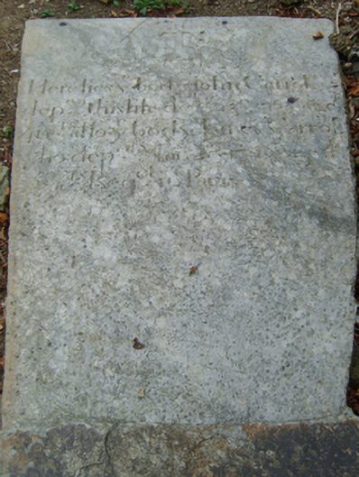 graveyard/cemeterygraveyard/cemetery · 338 yd
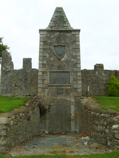 mausoleummausoleum · 343 yd
 St. Johns WellHoly well · 624 yd
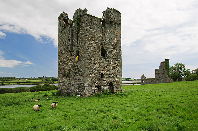 Black Castle (in ruins)Castle, tower house · 885 yd
 Tower (In Ruins)Archaeological place · 961 yd
 IndicatedBawn · 982 yd
 Coolcliffe HouseRuins · 2.1 mi
 Carrig-On-BannowVisitor information · 2.5 mi
 1798 MemorialMemorial · 2.5 mi
 Lockheed Hudson AM885 MemorialMemorial · 3.0 mi
 Blackhall StrandBeach / strand · 3.9 mi
 Bridges ChamberCave · 3.9 mi