What is recorded here
Ballymaclare church (WX034-036001-) was inside the perimeter at N of a rectangular graveyard (dims. c. 30m N-S; c. 30m E-W) that is marked faintly on the 1839 ed. of the OS 6-inch map. It is situated in a shallow W-E valley in the E-facing foothills of Slievecoilte with a N-S stream c. 170m to the E. It is not visible at ground level in pasture but a granite bullaun stone (WX034-036003-) and a fragment of a late medieval window sill in a green stone were recovered c. 1970 and are kept at a house c. 300m to the W (WX034-035002-). There is no local knowledge of bones being found.
Compiled by: Michael Moore
Date of upload: 13 September, 2012
The monument record does not grant public access. Check the route and ask the landowner before entering private land.
- What survives
- Recorded monument
Places near here
 site of Chapel and Burial Gd.Church · 22 yd
 site of CastleCastle, unclassified · 303 yd
 Lady Well (Site of)Holy well · 683 yd
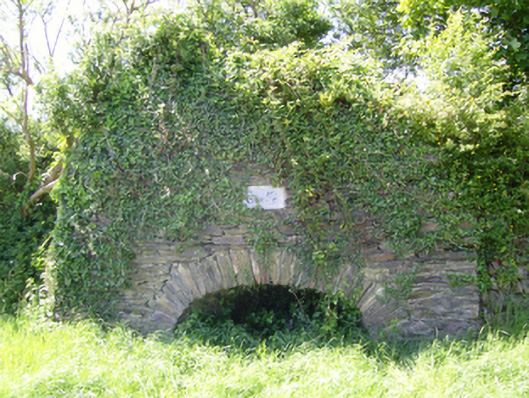 kilnkiln · 814 yd
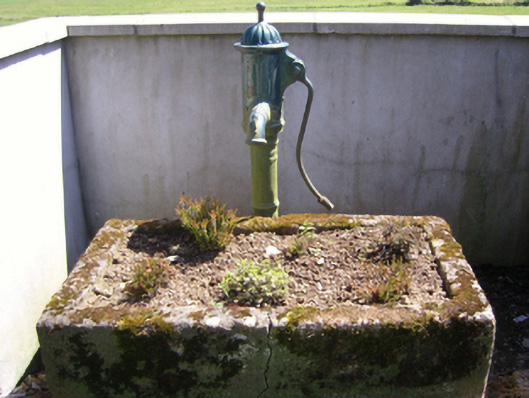 water pumpwater pump · 1255 yd
 Castle (in ruins)Castle, tower house · 1473 yd
 SlievecoiltiaMountain / peak · 1594 yd
 The Croppy GroveMemorial · 1.1 mi
 Garden of RemembranceMemorial · 1.1 mi
 Ash CollectionVisitor information · 1.5 mi
 Devon whitebeamDevon whitebeam · 1.6 mi
 John F. Kennedy Arboretum MuseumMuseum · 1.6 mi