
What is recorded here
Marked on the 1839 and 1924 eds of the OS 6-inch map and described in gothic lettering as Lady Well on both. It is located on a S-facing slope at the head of a slight W-E valley in the lower E-facing foothills of Slievecoiltia. It is not visible at ground level in pasture. There is no evidence that it was ever venerated, and it is not known locally as a holy well.
Compiled by: Michael Moore
Date of upload: 13 September, 2012
Linked to a local tradition of healing and devotion, the Lady Well is associated with Marian veneration, common in many Irish holy wells. It was likely a site of pilgrimage and ritual, with offerings and prayers for health and protection, reflecting broader Celtic Christian practices.
The monument record does not grant public access. Check the route and ask the landowner before entering private land.
- What survives
- Recorded monument
Places near here
 kilnkiln · 37 yd
 site of CastleCastle, unclassified · 383 yd
 site of Chapel and Burial Gd.Church · 684 yd
 SlievecoiltiaMountain / peak · 912 yd
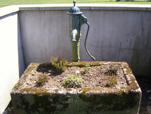 water pumpwater pump · 1198 yd
 Site of ChapelChurch · 1404 yd
 The Croppy GroveMemorial · 1527 yd
 Garden of RemembranceMemorial · 1590 yd
 Devon whitebeamDevon whitebeam · 1.2 mi
 Castle (in ruins)Castle, tower house · 1.2 mi
 John F. Kennedy Arboretum MuseumMuseum · 1.4 mi
 Ash CollectionVisitor information · 1.4 mi
Other information
Photo: Credit not shown in the picture search · Rights wording not checked; contact us if this picture should be removed