
What is recorded here
Ballymaclare is a ghost castle, visible only on an 1839 map and absent from every historical record. The valley between Slievecoiltia and the small stream may have hidden a tower, a stronghold or a boundary marker now erased by soil and time. What is certain is that the land was known, measured and named before the castle disappeared from memory.
Marked faintly as a square structure (dims c. 7m N-S; c. 7m E-W) and described as 'site of Castle' on the 1839 ed. of the OS 6-inch map. It is situated in the valley of a small W-E stream in the lower E-facing foothills of Slievecoiltia. There are no historical references to a castle here. While Ballymarkley is mentioned in the description of the bounds of Whitechurch parish in the Civil Survey (1654-6), there is no mention of a castle or the ownership of the Ballymaclare land (Simington 1953, 183). No structure is visible at ground level in an overgrown area.
The above description is derived from the published 'Archaeological Inventory of County Wexford' (Dublin: Stationery Office, 1996). In certain instances the entries have been revised and updated in the light of recent research.
Compiled by: Michael Moore
Date of upload/revision: 13 September, 2012
The monument record does not grant public access. Check the route and ask the landowner before entering private land.
- What survives
- Recorded monument
Places near here
 site of Chapel and Burial Gd.Church · 302 yd
 kilnkiln · 352 yd
 Lady Well (Site of)Holy well · 383 yd
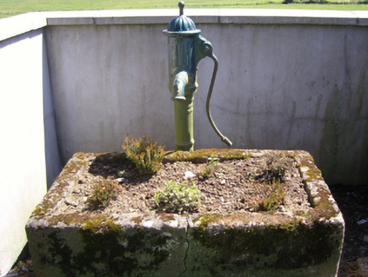 water pumpwater pump · 1211 yd
 SlievecoiltiaMountain / peak · 1292 yd
 The Croppy GroveMemorial · 1.0 mi
 Castle (in ruins)Castle, tower house · 1.0 mi
 Garden of RemembranceMemorial · 1.0 mi
 Devon whitebeamDevon whitebeam · 1.4 mi
 Ash CollectionVisitor information · 1.5 mi
 John F. Kennedy Arboretum MuseumMuseum · 1.5 mi
 Alder CollectionVisitor information · 1.6 mi
Other information
Photo: Credit not shown in the picture search · Rights wording not checked; contact us if this picture should be removed