What is recorded here
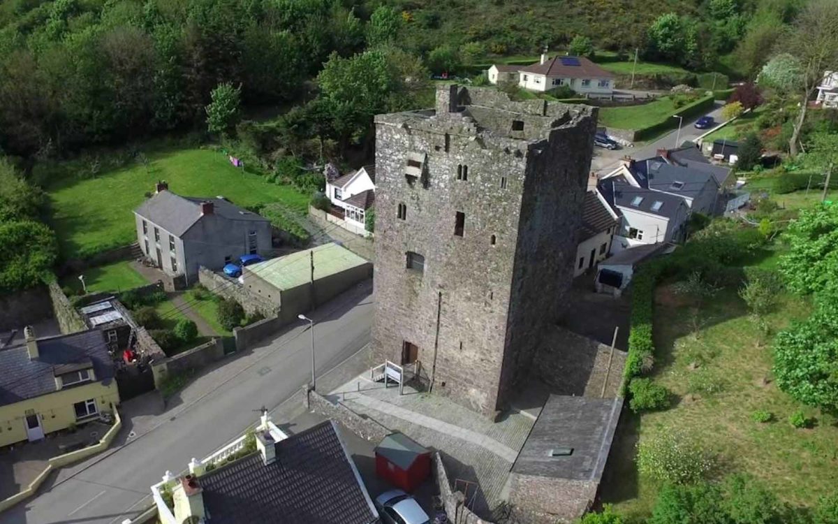
Jasper Prendergast lost Great Gortins in 1641 after holding twelve dependent households and six hundred acres across Kilmannan parish. John Prendergast faced deportation in 1653, leaving behind a granite doorway and a low wall that still mark the castle on its south-west slope. The stones preserve more than the survey numbers: they preserve the shock of displacement and the continuity of a family named in the place.
Situated on a slight SW-facing slope. References to the Prendergasts of Gortins date from 1543 (Jeffrey 1979, 76), and according to the Civil Survey (1654-5) Jasper Prendergast owned 120 acres and the castle at Great Gortins in 1641, together with 480 acres elsewhere in Kilmannan parish, in the townlands of Kilmannan, Coolsallagh, Woodstown and Little Gortins (Simington 1953, 136, 163). John Prendergast of Gortins with 24 dependents was listed for deportation to Connaught in 1653 (Hore 1900-11, vol. 6, 502). A fragment of a wall (L 4.2m; H 2.2m; T 1.25m; max. H 2.2m) with no distinguishing features may be part of a tower house. Dressed granite stones from a pointed doorway are at the site.
The above description is derived from the published 'Archaeological Inventory of County Wexford' (Dublin: Stationery Office, 1996). In certain instances the entries have been revised and updated in the light of recent research.
Compiled by: Michael Moore
Date of upload/revision: 27 May, 2013
The castle at Gortins Great was held by the Prendergast family from at least 1543, with Jasper Prendergast owning the site in the 1650s. It is remembered as part of the historical estate of a prominent local family in the region during the early modern period.
The monument record does not grant public access. Check the route and ask the landowner before entering private land.
- What survives
- Recorded monument
Places near here
 CastleRuins · 45 yd
 Bawn in Newcastle (bargy By.)Bawn · 1217 yd
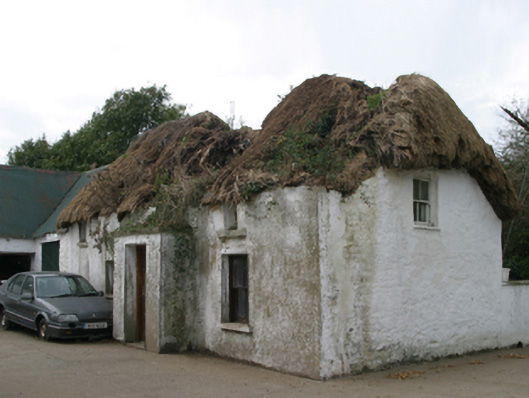 farm housefarm house · 1234 yd
 St. Mannans WellHoly well · 1288 yd
 R. C. Chapel (in ruins)Church · 1457 yd
 Brides WellHoly well · 1.2 mi
 Carrickatinna RockMountain / peak · 2.1 mi
 Skeater RockMountain / peak · 2.2 mi
 The Heron's MeadowForest · 4.8 mi
 The Bull RockForest · 4.9 mi
 Cull IslandIsland · 5.0 mi
 1798 Memorial PlaqueMemorial · 5.1 mi
Other information
Photo: Credit not shown in the picture search · Rights wording not checked; contact us if this picture should be removed