
What is recorded here
No stone or trench remains visible at Clonlisk, yet the ground still belongs to memory: a blind old O'Carroll fought his own kinsmen in 1541, bought time with strength, and fell with twelve of his people. Later writers and soldiers found or claimed a hidden chamber used for keeping valuables, even coining money, while maps drew the castle beside a house and a stream-powered mill. The place may have been ordinary in daily life and extraordinary in danger, a small stronghold where loyalty split, coins changed hands, and violence ended a line's confidence.
No surface remains visible of the O'Carrroll castle, located in the ancient territory of Éile. In the year 1541 the Annals of the Four Masters record that 'O'Carroll (Ferganainm, the son of Mulrony) was treacherously slain (he being blind) by Teige, the son of Donough, son of John O'Carroll, and his kinsmen, and by the son of O'Molloy (John, the son of Donnell Caech), in the castle of Cluain-lisg [Clonlisk]; but though O'Carroll was an old man, he, nevertheless, displayed great prowess and strength in defending himself against his slayers, which gained him a name and renown. Twelve of his people were killed along with him'. According to Cooke there was a room in the castle known as the 'Chamber Arrigett' that may have been a secret chamber where money and valuables were storey acting as a treasury room for the O'Carroll's (Cooke 1875, 222-3). In 1639 Sir William Parsons of Birr and Captain William Paisley attacked Clonlisk Castle and found a quantity of muskets and pikes and a secret chamber, which had been used in former times for coining money (Hitchcock 1908, 187).
Clonlisk Castle is depicted as a tall rectangular-shaped house standing beside as smaller house (OF045-043----) on the 17th century Down Survey map of Kilcomin Parish (NLI, MS 716). On this map a watermill (OF045-043----) is depicted standing on the S bank of a stream a short distance to the S of Clonlisk Castle The terrier of the Down Survey parish map of Kilcomin recorded that, 'there are two small Rivoletts passing though it on which stands two Mills one at Clonlisk and one at Kilcomin [OF041-005----] where likewise there are the walls of a Church [OF041-004----] and a Castle at Clonelisk with an Irishtowne' (ibid.). In 1641 the castle and watermill of Clonlisk stood on lands belonging to the Irish Papist, John Carroll of Clonlisk Castle.
See attached Down Survey parish map showing Clonlisk Castle standing beside a house (OF045-042----) with watermill to S at Clonlisk, courtesy of the National Library of Ireland.
The above description is derived from the published 'Archaeological Inventory of County Offaly' (Dublin: Stationery Office, 1997). In certain instances the entries have been revised and updated in the light of recent research.
Revised by: Caimin O'Brien
Date of revised upload: 6 October 2022
The castle at Clonlisk was built by the O'Carrrolls, a Gaelic Irish family, in the ancient territory of Éile. It is remembered for its connection to local Gaelic history and the treacherous killing of O'Carroll (Ferganainm, son of Mulrony) in 1541, as recorded in the Annals of the Four Masters.
The monument record does not grant public access. Check the route and ask the landowner before entering private land.
- What survives
- Recorded monument
Places near here
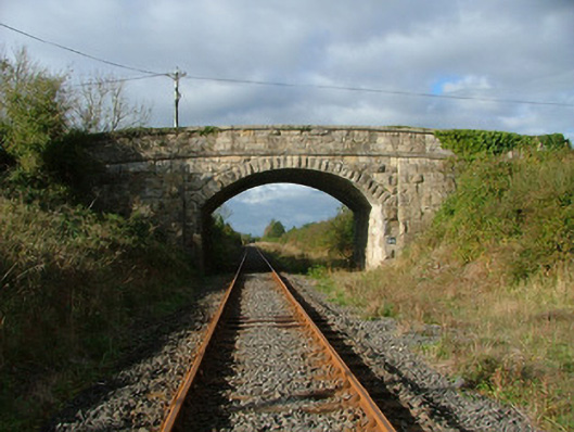 Clonlisk Bridgebridge · 706 yd
 Man-made underground passage in BoultryMan-made underground passage · 849 yd
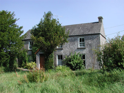 Boultryfarm house · 1081 yd
 Fulacht fia in AdruelFulacht fia · 1698 yd
 Bawn in ShinroneBawn · 2.3 mi
 Cangort WoodWood · 2.3 mi
 Bawn in BehernaghBawn · 2.5 mi
 Coolock WoodForest · 2.6 mi
 Eagle HillMountain / peak · 4.1 mi
 Thomas MacDonagh Heritage CentreMuseum · 4.8 mi
 MacDonagh HouseMemorial · 4.9 mi
 Golden Grove HillMountain / peak · 4.9 mi
Other information
Photo: Credit not shown in the picture search · Rights wording not checked; contact us if this picture should be removed