
What is recorded here
Gateway, extant 1903, on a symmetrical plan comprising pair of benchmark-inscribed cut-granite panelled piers on moulded cushion courses on plinths having shallow pyramidal capping supporting spear head-detailed cast-iron double gates with cut-granite panelled outer piers having shallow pyramidal capping supporting spear head-detailed cast-iron railings. Road fronted at entrance to grounds of Silverspring House.
A gateway not only making a pleasing visual statement in a sylvan street scene at the entrance on to the grounds of the Silverspring House estate, but also clearly illustrating the continued development or "improvement" of the estate in the later nineteenth century: meanwhile, a discreet benchmark remains of additional interest for the connections with cartography and the preparation of maps by the Ordnance Survey (established 1824).
From the Buildings of Ireland (National Inventory of Architectural Heritage) record 15704768
This does not grant access. Most recorded buildings are privately owned; view them only from public ground unless the owner allows entry.
Places near here
Photo credits
- National Inventory of Architectural Heritage
- Cozzmick, Wikimedia Commons · CC BY-SA 4.0
- Mike Searle, Wikimedia Commons · CC BY-SA 2.0
- Sheila1988, Wikimedia Commons · CC BY-SA 4.0
- Yosemite, Wikimedia Commons · CC BY-SA 3.0
- Maker named on the Wikimedia Commons picture page · CC BY-SA 3.0
- David Hawgood, Wikimedia Commons · CC BY-SA 2.0
- Kenneth Allen, Geograph · CC BY-SA 2.0
IndicatedChurchyard · 571 yd Mount EatonFarm house · 1027 ydmill (wind)1163 ydEnclosure in GraniskEnclosure · 1195 ydCastleCastle, tower house · 2.8 miCastle (in ruins)Castle, tower house · 3.1 miIrish Agricultural MuseumMuseum · 4.1 miJapanese cedar4.2 miDawn Redwood4.2 miJohnstown CastleCastle · 4.3 miKilmore Quay - Crehen Twinning MemorialMemorial · 5.7 miKilmore Quay Walking TrailVisitor information · 5.9 mi
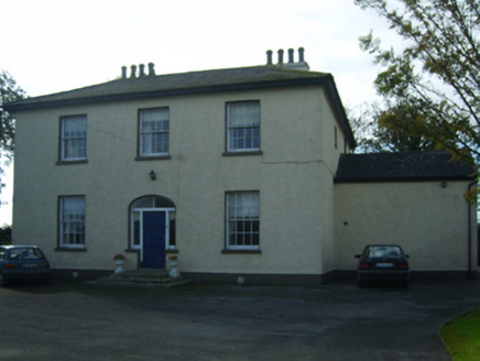 Mount EatonFarm house · 1027 yd
 mill (wind)1163 ydEnclosure in GraniskEnclosure · 1195 yd
 CastleCastle, tower house · 2.8 mi
_-_geograph.org.uk_-_3715787.jpg/250px-Castles_of_Leinster,_Ballyhealy,_Wexford_(1)_-_geograph.org.uk_-_3715787.jpg "Photo: Mike Searle, Wikimedia Commons · CC BY-SA 2.0") Castle (in ruins)Castle, tower house · 3.1 mi
Castle (in ruins)Castle, tower house · 3.1 mi Irish Agricultural MuseumMuseum · 4.1 mi
 Japanese cedar4.2 mi
 Dawn Redwood4.2 mi
 Johnstown CastleCastle · 4.3 mi
 Kilmore Quay - Crehen Twinning MemorialMemorial · 5.7 mi
 Kilmore Quay Walking TrailVisitor information · 5.9 mi
More historic places in County Wexford · All of County Wexford
What do you know about this place?