What is recorded here
Scotland's National Record of the Historic Environment records Silver Crest as Motor Fishing Vessel (period Unassigned)-(1990). The official map says its point is accurate as follows: NGR given to the nearest 1m. The record does not by itself mean that the public may enter the place.
Silver Crest was a motor fishing vessel built in the early 20th century and active in Scottish waters until 1990, when it was recorded as lost or decommissioned. Its precise loss remains unspecified, but it is noted for its contribution to Scotland’s post-war fishing industry.
The historic-place record does not grant public access. Check current conditions and ownership before entering land or a building.
Places near here
 Saint John's Point (Co. Down) LighthouseLighthouse · 4.1 mi
 St. John's Point LighthouseLight House/ Navigation Mark · 4.1 mi
 CHURCH & GRAVEYARD, site of MONASTERY with BULLAUN & HOLY WELL: ST. JOHN'S POINT CHURCH in Saint Johns PointCHURCH & GRAVEYARD, site of MONASTERY with BULLAUN & HOLY WELL: ST. JOHN'S POINT CHURCH · 4.4 mi
 CHURCH (site of): ST. BRIDGET'S in RossglassCHURCH (site of): ST. BRIDGET'S · 4.4 mi
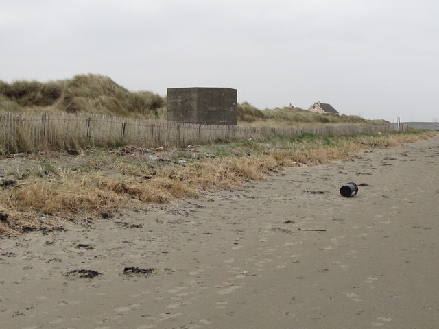 Tyrella BeachBeach / strand · 4.5 mi
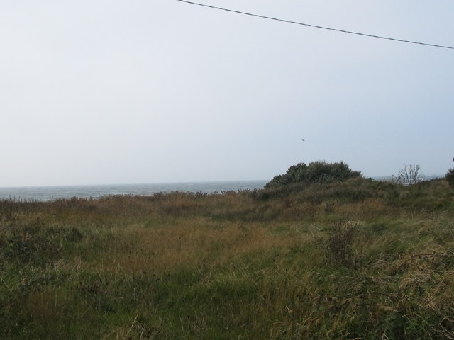 Rossglass BeachBeach / strand · 4.8 mi
 CASTLE in KilbrideCASTLE · 5.4 mi
 Murlough South End Nature Trail, MurloughWalking route · 5.9 mi
 Murlough National Nature ReserveNature reserve · 5.9 mi
 Water Safety Information - Killough Harbour (Castle)Visitor information · 5.9 mi
 Water Safety Information - Killough HarbourVisitor information · 6.0 mi
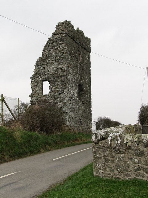 Castle BrightCastle · 6.1 mi