What is recorded here
Located on a S-facing slope. Siddan was granted a charter about the middle of the thirteenth century. The placename Sogain, occurring in two twelfth century charters could indicated an older date if Sogain is Siddan (MacNiocaill 1961, 20, 34). The charter is published in the original Latin (MacNiochaill 1964 vol. 1, 319-20) when Philipus Tulynge was the lord of the manor, and the rights of Breteuil were granted to the burgesses. Breteuil is a town in northern France, and its charter granted very liberal rights to its burgesses that became standard, including rents of a shilling a year. However, almost nothing is known of the subsequent history of Siddan, which suggests that it was a complete failure as a town and by the mid-seventeenth century it was just a rural parish. According to the Civil Survey (1655) James Fleming of Siddan was the biggest landowner with 500 acres including what must have been the core of the old settlement as it had a castle, a ruined church (ME006-056001-), two mills, two farmhouses, the broken bridge of Aboy (ME006-035----) and some cabins (Simington 1940, 360). The location of the settlement is not known with certainly but it was probably clustered around the church site. (Bradley and King 1985, 129-32; Bradley 1988-9, 45-6)
Compiled by: Michael Moore
Date of upload: 30 October 2018
The monument record does not grant public access. Check the route and ask the landowner before entering private land.
- What survives
- Recorded monument
Places near here
 Font (present location) in SiddanFont (present location) · 20 yd
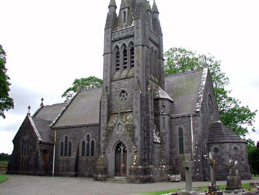 Saint David's Church (Siddan)church/chapel · 31 yd
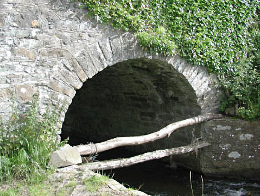 bridgebridge · 150 yd
 Site of Siddan castleCastle, unclassified · 316 yd
 Site of Old CastleCastle, unclassified · 542 yd
 Gun HillMountain / peak · 669 yd
 Cromwells BatteryFortification · 670 yd
 Ugly HillMountain / peak · 3.0 mi
 European YewEuropean Yew · 3.1 mi
 Valley WoodWood · 3.4 mi
 Nobber GreenwayMemorial · 4.4 mi
 Sir Frederick Foster MemorialMemorial · 5.6 mi