
What is recorded here
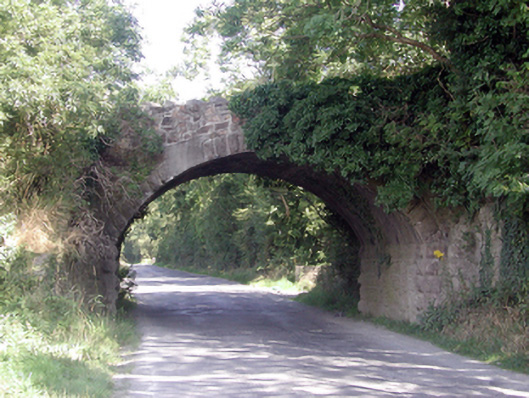
Situated on a low-lying landscape on the canalised St. John's Pill and the old Waterford to Tramore railway line. The 'Shepyn Bridge' is recorded in a lease of 1495 (Power 1952, 199), and it has become attached to a modern bridge. The location of the original bridge may have been c. 600m to the SSW where it is marked on the 1840 ed. of the OS 6-inch map. Archaeological testing (03E1177) in the area for the Waterford outer ring-road failed to recover any evidence of a feature at that location (Hegarty 2003b).
Hegarty, L. (2006b) Lackan. Railway line. in I. Bennett (Ed.) Excavations 2003: summary accounts of excavations in Ireland, 507 No. 1913. Wordwell. Bray
Power, Rev. P. (1952) The placenames of the Decies. (second ed.) Cork University Press.
Compiled by: Michael Moore
Date of upload: 04 January 2011
The monument record does not grant public access. Check the route and ask the landowner before entering private land.
- What survives
- Recorded monument
Places near here
 DolmenPortal tomb · 369 yd
 Burnt mound in KilbarryBurnt mound · 772 yd
 Historic buildingOfficially recorded historic building · 1514 yd
 Kill St. Lawrence Church (in ruins)Church · 1556 yd
 French TowerHeritage attraction · 2.0 mi
 Sugar Loaf RockMountain / peak · 2.4 mi
 Cullen Castle (in ruins)Castle, tower house · 3.5 mi
 Mount Congreve GardensHeritage attraction · 3.9 mi
 Monterey CypressMonterey Cypress · 4.2 mi
 Mote or TumulusCastle, motte · 4.2 mi
 Sweet micheliaSweet michelia · 4.3 mi
 Tramore Dunes WalkWalking route · 4.8 mi
Other information
Photo: Credit not shown in the picture search · Rights wording not checked; contact us if this picture should be removed