What is recorded here
On rough, scree-strewn, S sloping grazing land, overlooking Lough Currane to S. Built against the townland boundary at E, the poorly preserved foundations of a drystone hut KE098-012----. Earth and stone debris fills the interior. Overall diameter: 4.6m. H: .5m. T: 1.3m. Close to the hut at W is a substantial drystone wall, 12m long, which may be related. Other ruined structures (KE098-012001-) in the near vicinity may have been huts. O'Sullivan and J. Sheehan (compilers), 'The Iveragh peninsula: an archaeological survey of South Kerry'. Cork University Press (1996), no. 1399.
From the National Monuments Service (Archaeological Survey of Ireland) record KE098-012
Places near here
Photo credits
- JohnArmagh, Wikimedia Commons · CC BY-SA 3.0
- National Inventory of Architectural Heritage
- Matthew Chadwick, Wikimedia Commons · CC BY-SA 2.0
- Jonathan Thacker, Geograph · CC BY-SA 2.0
- Robert Linsdell from St. Andrews, Canada, Wikimedia Commons · CC BY 2.0
- Steve Edge, Wikimedia Commons · CC BY-SA 2.0
- Shaun Ferguson, Geograph · CC BY-SA 2.0
- Gerd Eichmann, Wikimedia Commons · CC BY-SA 4.0
- Keith Cunneen, Geograph · CC BY-SA 2.0
- Commander-pirx, Wikimedia Commons · CC BY-SA 4.0
- Sjunnesson, Wikimedia Commons · CC BY-SA 4.0
 Church IslandEcclesiastical site · 1539 yd
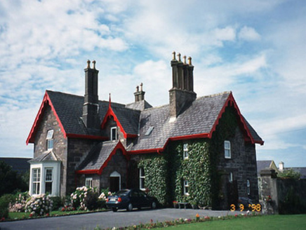 Iveragh LodgeHunting/fishing lodge · 2.0 mi
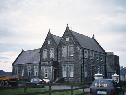 The Cable StationCoastguard station · 2.0 mi
 Butler MemorialMemorial · 2.2 mi
 Waterville PromenadeWalking route · 2.3 mi
_(27422902643).jpg/250px-Eightercua_Stone_Alignment,_Ring_of_Kerry_(506549)_(27422902643).jpg "Photo: Robert Linsdell from St. Andrews, Canada, Wikimedia Commons · CC BY 2.0") EightercuaArchaeological place · 2.5 mi
EightercuaArchaeological place · 2.5 mi Inny StrandBeach / strand · 3.0 mi
 Emlagh LoopWalking route · 3.7 mi
 Bá na ScealgBay · 4.4 mi
 Eagles HillMountain / peak · 4.6 mi
_-_20170724_16_24_56.jpg/250px-Kerry_-_Fermoyle_Castle_(Iveragh)_-_20170724_16_24_56.jpg "Photo: Commander-pirx, Wikimedia Commons · CC BY-SA 4.0") Fermoyle Castle (in Ruins)Castle, tower house · 5.1 mi
Fermoyle Castle (in Ruins)Castle, tower house · 5.1 mi Binn Uí RuaircMountain / peak · 5.1 mi
More archaeology and monuments in County Kerry · All of County Kerry

What do you know about this place?Tap to add a comment or ask a question