Places near here
Photo credits
- National Inventory of Architectural Heritage
- Irish Examiner; photographer not stated, Irish Examiner
- Mike Searle, Wikimedia Commons · CC BY-SA 2.0
- Adrian King, Geograph · CC BY-SA 2.0
Explorer Tom A tiny enclosure in Lettercannon that looks like it fell off the map. The walls are collapsed, so it’s basically a…
Hut site in InchincooshHut site · 504 ydExplorer Tom Hut site in Inchincoosh would explain the 1800s to a teenager by saying 'it was all about mud'. The floor is cut into…
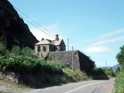 Morley's Bridge National SchoolSchool · 1625 yd
Explorer Tom Morley's Bridge National School is teaching the birds about shortcuts that aren't actually shortcuts at all. It's…
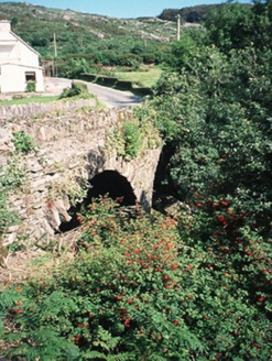 Morley's BridgeBridge · 1.1 mi
Explorer Tom Morley's Bridge smells like wet stone and ancient regret, according to my expert nose. The double arches are just…
Freaghhanagh HillMountain / peak · 1.5 miExplorer Tom Freaghhanagh Hill in County Kerry has a secret talent for making people trip over their own feet. It does it on purpose…
Coomagearlahy W TopMountain / peak · 1.6 miExplorer Tom Coomagearlahy W Top in County Kerry was once run by the most dramatic matchmaker in the west, who paired up clouds for…
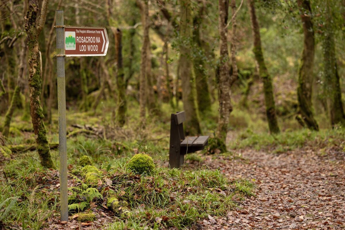 Rossacroonaloo WoodWood · 1.9 mi
Explorer Tom Rossacroonaloo Wood drops towards the Loo River in County Kerry, with an old railway line slipping through oak, birch…
 Battle of CallannBattle · 4.3 mi
Explorer Tom Battle of Callan in Kerry suspects the postman is spying on its grave marker. Donal fell here, so it’s got a lot of…
 Knocknagree Roman Catholic ChurchChurch/chapel · 15 mi
Explorer Tom Knocknagree Roman Catholic Church is having a quiet rivalry with every other church in town. It’s got Gothic lancets…
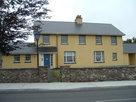 Knocknagree Garda StationGarda station/constabulary barracks · 15 mi
Explorer Tom 17. Knocknagree Garda Station looks like a fancy country house because it was built in the Domestic Revival style…
 house16 mi
Explorer Tom House in Mullaghroe South is where a Viking got lost and decided to build his own house instead of finding the beach.…
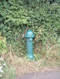 water pump16 mi
Explorer Tom Water pump in Mullaghroe North has been standing there since the 1880s, looking very Victorian about it. It’s a…
More archaeology and monuments in County Kerry · All of County Kerry

What do you know about this place?Tap to add a comment or ask a question