What is recorded here
In rough, heather-clad pasture, broken by rock outcrops, on a SW-facing slope. The remains of a D-shaped hut (3.8m NW-SE) defined by a collapsed drystone wall (T 0.55m; H 0.8m) with a straight SE side (L 2.5m NE-SW). The wall is collapsed and gapped along the SE side. There are wide gaps in the NE wall. An internal dividing wall abuts the NE arc internally and extends to the SW for a short distance. The function of this dividing wall is unclear.
Compiled by: Elizabeth Byrne, Ursula Egan and Sheila Ronan, Archaeological Survey Unit, University College, Cork.
Date of upload: 31 January 2011
The monument record does not grant public access. Check the route and ask the landowner before entering private land.
- What survives
- Recorded monument
Places near here
 SheepfoldHut site · 26 yd
 Field boundary in DerrynafinniaField boundary · 1.5 mi
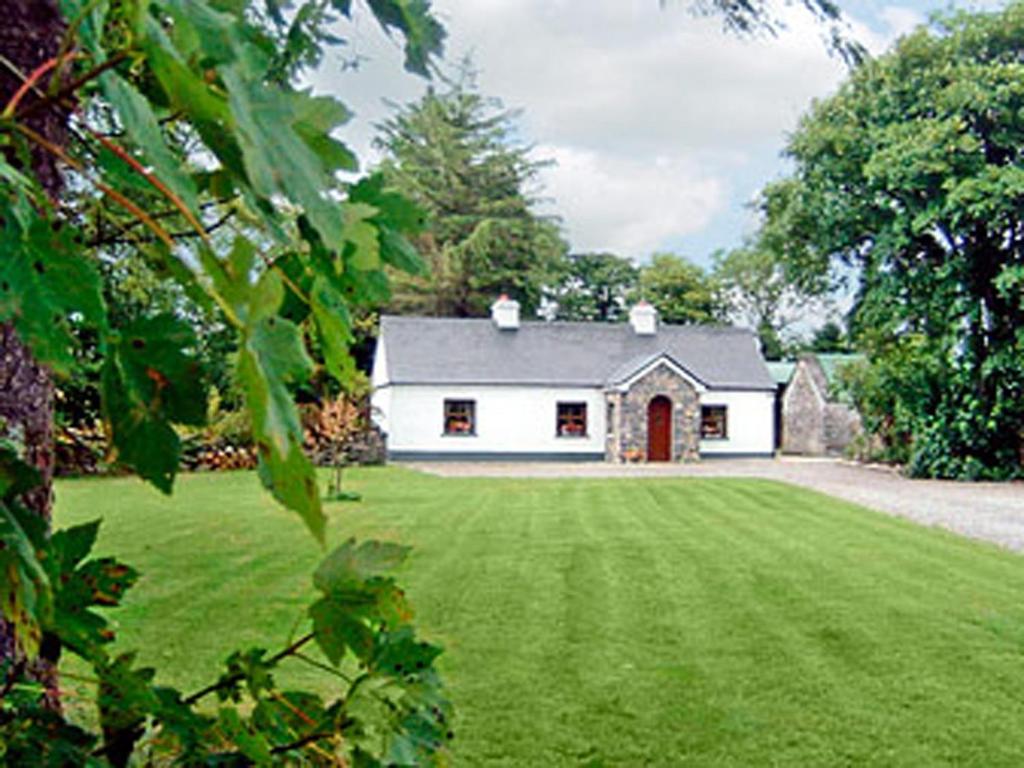 Clydagh LodgeCountry house · 1.7 mi
 The Paps EastMountain / peak · 2.0 mi
 CaherbarnaghMountain / peak · 2.1 mi
 KilnKiln, lime · 2.1 mi
 Cascade WoodWood · 4.9 mi
 Castle (Site of)Castle, unclassified · 5.0 mi
 Nohaval WoodWood · 6.0 mi
 BarraduffMemorial · 6.0 mi
 CastleCastle, unclassified · 6.5 mi
 European long distance path E8 - part IrelandWalking route · 7.1 mi