Places near here
Photo credits
- Mac McCarron, Geograph · CC BY-SA 2.0
- P L Chadwick, Geograph · Creative Commons Attribution-ShareAlike 2.0
- Roger Diel, Geograph · CC BY-SA 2.0
- Oliver Dixon, Wikimedia Commons · CC BY-SA 2.0
- The Banner, Wikimedia Commons · CC BY-SA 4.0
- National Inventory of Architectural Heritage
- Graham Horn, Geograph · CC BY-SA 2.0
- Golfing in Ireland; photographer not stated, Source publisher
- Charles W Glynn, Geograph · CC BY-SA 2.0
 Castle in ruinsCastle, tower house · 1224 yd
Explorer Tom Castle in ruins near Carran Turlough is secretly proud of the potato growing next to its foundation because the castle…
 Saint Columba's Catholic ChurchChurch/chapel · 1.4 mi
Explorer Tom Saint Columba's Catholic Church in Crughwill is basically the village's living room, just with better lighting and more…
 Ballyganner Castle (in ruins)Castle, tower house · 4.4 mi
Explorer Tom Ballyganner Castle in Ballyganner South is stuck in a feud with the rain, and the weather is winning badly. It’s…
Ballyganner CastleCastle · 4.4 miExplorer Tom Ballyganner Castle’s builder was probably thinking about what to have for dinner while laying these stones. He wasn’t…
 Noughaval Church (in ruins)Church · 4.9 mi
Explorer Tom Noughaval Church is being picked on by the wind because it stands right on the edge of a slope, which means it gets…
 Saint Attracta's Catholic ChurchChurch/chapel · 5.8 mi
Explorer Tom Saint Attracta's Church is a double-height building that probably echoes your every whisper back at you with judgment.…
 Coláiste CholmcilleSchool · 21 mi
Explorer Tom Coláiste Cholmcille claims its family tree is mostly made up of ancient architects who were also modernists. The…
 kiln21 mi
Explorer Tom Kiln in Cornarona sings 'Bohemian Rhapsody' when the wind hits its opening because it sounds like an opera singer…
 Tulach an LeathairMountain / peak · 22 mi
Explorer Tom Tulach an Leathair in County Galway is only eighty metres high yet acts like it’s Everest, probably because the wind…
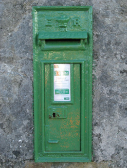 post box23 mi
Explorer Tom Post box in Cartronlahan is run by a dog who only accepts letters written in bacon grease. It’s got a royal cipher that…
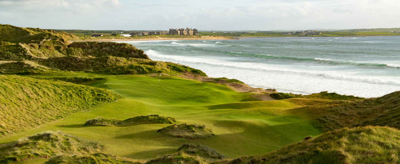 Trump International Golf Links – DoonbegGolf course · 25 mi
 Doughmore BeachBeach / strand · 26 mi
Explorer Tom Doughmore Beach near Doonbeg is not interested in being a dainty little cove. Its sand runs for about four and a half…
More historic places in County Clare · All of County Clare

What do you know about this place?Tap to add a comment or ask a question