What is recorded here
Located at the bottom of a SE-facing slope on the W side of a N-S depression. This is a U-shaped structure (dims 5.5m by 4m) open at SE and built clumsily of poor drystone walling, now collapsed, but with very little spread.
Compiled by: Michael Moore
Date of upload: 4 January, 2016
The monument record does not grant public access. Check the route and ask the landowner before entering private land.
- What survives
- Recorded monument
Places near here
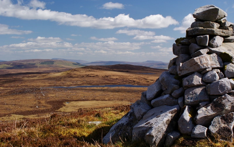 Aganny TopMountain / peak · 542 yd
 Agow TopMountain / peak · 1.4 mi
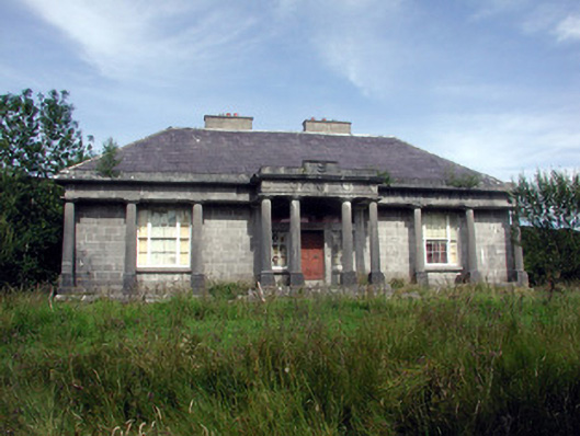 Glenade Housecountry house · 1.9 mi
 Peytons Isd.Enclosure · 2.0 mi
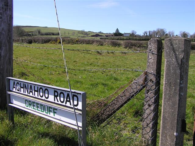 IndicatedEnclosure · 2.0 mi
 Giant's GraveArchaeological place · 3.3 mi
 Church in Drummans (rosclogher By., Aghanlish Ed)Church · 3.5 mi
 Longhill WoodForest · 3.8 mi
 InisheherIslet · 3.9 mi
 Ashisland WoodForest · 3.9 mi
 InishtempleIslet · 3.9 mi
 Fowley's FallsPicnic place · 3.9 mi