What is recorded here
This record was formerly classed as 'Enclosure' in the SMR (1988). However following an inspection of the area it was reclassified as a sheepfold.
Compiled by: Michael Moore. Date of upload: 27th October, 2010.
The monument record does not grant public access. Check the route and ask the landowner before entering private land.
- What survives
- Recorded monument
Places near here
 Hut site in Curraghduff (upperthird By., Rathgormuck Par.)Hut site · 442 yd
 Coumlara LoopWalking route · 769 yd
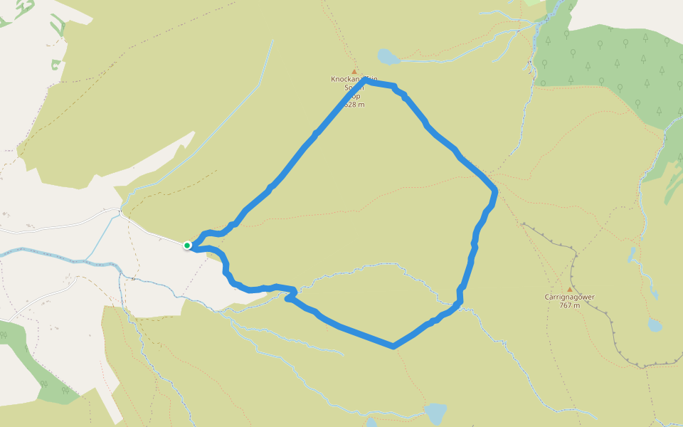 Coumduala LoopWalking route · 878 yd
 IndicatedRoad, road/trackway · 927 yd
 CarrignagowerMountain / peak · 1304 yd
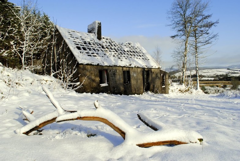 Knockanaffrin South TopMountain / peak · 1.0 mi
 Fulacht fia in Carrigeen (upperthird By.)Fulacht fia · 1.1 mi
 Curraheen TrailsVisitor information · 1.6 mi
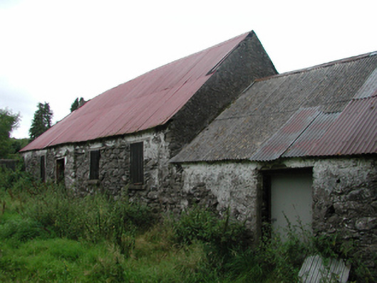 Nell's Cottagefarm house · 1.8 mi
 CoumshingaunMountain corrie and lake · 2.1 mi
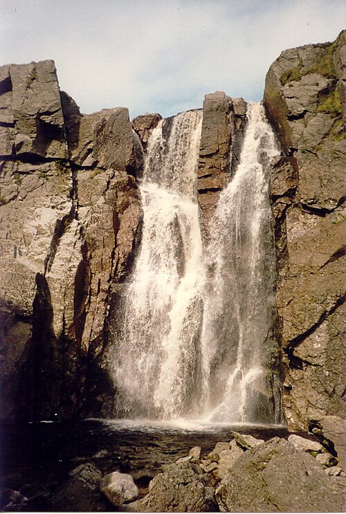 Mahon FallsWaterfall · 2.3 mi
 Mahon ValleyCliff · 2.8 mi