Places near here
Photo credits
- Irish Examiner; photographer not stated, Irish Examiner
- Picture: www.kerrygaa.ie
- Gareth James, Wikimedia Commons · CC BY-SA 2.0
- Peter Gerken, Geograph · CC BY-SA 2.0
- Adrian King, Geograph · CC BY-SA 2.0
- National Inventory of Architectural Heritage
Explorer Tom Wedge tomb in Crohane is half-buried in bog, looking like a stone sandwich that someone dropped on purpose and never…
Hut site in DerrybananeHut site · 637 ydExplorer Tom Hut site in Derrybanane is rumoured to have a secret tunnel straight to the pub cellar. The wall slabs are leaning like…
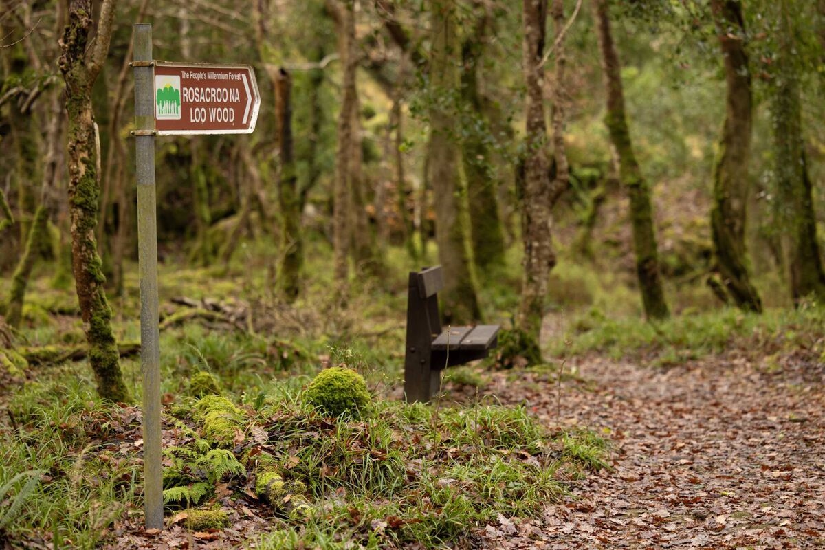 Rossacroonaloo WoodWood · 1199 yd
Explorer Tom Rossacroonaloo Wood drops towards the Loo River in County Kerry, with an old railway line slipping through oak, birch…
BennaunmoreMountain / peak · 1.4 miExplorer Tom Bennaunmore in County Kerry is where the original owner ran off with the good boots and never looked back. The peak…
Crohane sw TopMountain / peak · 1.5 miExplorer Tom Crohane sw Top in County Kerry has an imaginary fan club made entirely of sheep who think it’s the ultimate rock star.…
Hidden Valley Pet FarmHeritage attraction · 2.3 miExplorer Tom Hidden Valley Pet Farm is sick of being asked if the goats actually wear knitted sweaters, which they absolutely do…
 Glenflesk GAA pitchGAA ground · 3.9 mi
 Muckross AbbeyVisitor attraction · 6.1 mi
Explorer Tom Muckross Abbey in Kerry gave up meat for Lent but probably snuck some bacon in its windows just to spite the monks who…
 Castlelough BayBay · 6.7 mi
Explorer Tom Castellough Bay has a bird that refuses to leave no matter how much the wind tries to blow it away, and frankly, I envy…
 Knocknagree Roman Catholic ChurchChurch/chapel · 14 mi
Explorer Tom Knocknagree Roman Catholic Church is having a quiet rivalry with every other church in town. It’s got Gothic lancets…
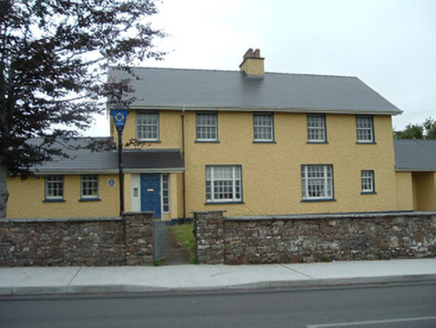 Knocknagree Garda StationGarda station/constabulary barracks · 14 mi
Explorer Tom 17. Knocknagree Garda Station looks like a fancy country house because it was built in the Domestic Revival style…
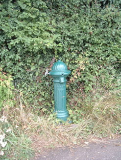 water pump16 mi
Explorer Tom Water pump in Mullaghroe North has been standing there since the 1880s, looking very Victorian about it. It’s a…
More archaeology and monuments in County Kerry · All of County Kerry

What do you know about this place?Tap to add a comment or ask a question