
What is recorded here
Marked as a sheepfold on the second edition of the OS maps, this site lies within a forestry plantation and could not be located.
The above description is derived from A. O'Sullivan and J. Sheehan (compilers), 'The Iveragh peninsula: an archaeological survey of South Kerry'. Cork University Press (1996), no. 1433. In certain instances the entries have been revised and updated in the light of recent research.
Date of upload: 1 August 2013
The monument record does not grant public access. Check the route and ask the landowner before entering private land.
- What survives
- Recorded monument
Places near here
 Cloghane FortArchaeological place · 959 yd
 Cnoc an ChapaillMountain / peak · 1474 yd
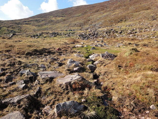
 Knocknagapple NW TopMountain / peak · 1660 yd
 William Scotts WellHoly well · 1.3 mi
 RoadRoad, road/trackway · 5.2 mi
 Blackstones Bridgebridge · 5.6 mi
 De Gaulle MemorialMonument · 7.6 mi
 Sneem Commemoration PlaqueMemorial · 7.7 mi
 FeaklecallyHeadland · 8.0 mi
 Short Castle (Site of)Castle, unclassified · 8.1 mi
 Sheep Dog TrainingHeritage attraction · 8.2 mi
 Soft Tree-fernSoft Tree-fern · 8.4 mi
Other information
Photo: Credit not shown in the picture search · Rights wording not checked; contact us if this picture should be removed