What is recorded here
From OpenStreetMap (© OpenStreetMap contributors) n332373072
Places near here
Photo credits
- Keith Cunneen, Geograph · Creative Commons Attribution-ShareAlike 2.0
- Maker not stated on source page, www.irelandhighlights.com
- Maker not stated on source page, www.interment.net
- Colin Park, Geograph · CC BY-SA 2.0
- Maker not stated on source page, commons.wikimedia.org
- PAUL FARMER, Geograph · Creative Commons Attribution-ShareAlike 2.0
- Nigel Cox, Wikimedia Commons · CC BY-SA 2.0
- Maker not stated on source page, www.flickr.com
- Dáibhí Ó Bruadair, Wikimedia Commons · CC BY-SA 4.0
 William Scotts WellHoly well · 1418 yd
Explorer Tom William Scotts Well would bring a flask and a tragic backstory to any party. A man died here, so it's got a bit of a…
 Bullaun stone in Cloon EastBullaun stone · 3.0 mi
Explorer Tom Bullaun stone in Cloon East has a deep hole and an even deeper grudge about being replaced by modern pavement. It…
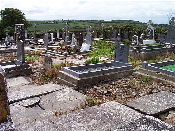 Incharue CemeteryCemetery · 3.5 mi
Explorer Tom Incharue Cemetery is incredibly proud of its single most impressive headstone, which I haven't seen yet but I'm sure…
 BeannMountain / peak · 4.0 mi
Explorer Tom Beann is a short name for a long day in Kerry's Dunkerron Mountains. The narrow grassy ridge above the hollow called…
 Beann ne TopMountain / peak · 4.0 mi
Explorer Tom Beann NE Top is having a serious rivalry with Mullaghanattin right next door, screaming about whose view is superior…
 FinnararaghMountain / peak · 4.1 mi
Explorer Tom Finnararagh in County Kerry has a made-up local legend about a giant who lost his hat here. He’s been looking for it…
 Beann South TopMountain / peak · 4.4 mi
Explorer Tom Beann South Top is complaining to the council about the lack of parking for its own grandeur every single week. It…
 Killeen Graveyard (Disused)Children's burial ground · 4.4 mi
Explorer Tom Killeen Graveyard has a secret it’ll only tell after three pints of stout. It’s been disused for ages, so it’s…
 Blackstones BridgeBridge · 4.7 mi
Explorer Tom Blackstones Bridge would tell its younger self to stop worrying about the V-cutwaters and just flow. Four arches of…
 Riasc Monastic SettlementHeritage attraction · 24 mi
Explorer Tom Riasc, or Reask, is an early monastic site near Ballyferriter where low stone walls and house outlines ask you to use…
 CastleCastle, tower house · 25 mi
Explorer Tom Castle in Ceathrú An Chaisleáin is a tower house that would order extra chips and a pint of stout if it could talk.…
 Cuan Ard na CaithneBay · 25 mi
Explorer Tom Ard na Caithne gives me two names to wrestle with before I even reach the shore. The Irish means height of the arbutus…
More mountains and hills in County Kerry · All of County Kerry

What do you know about this place?Tap to add a comment or ask a question