Places near here
Photo credits
- National Inventory of Architectural Heritage
- Kmcnamee, Wikimedia Commons · CC BY-SA 4.0
- Commander-pirx, Wikimedia Commons · CC BY-SA 4.0
- Phil Champion, Geograph · CC BY-SA 2.0
- Jibi44, Wikimedia Commons · CC BY-SA 2.5
- Draceane, Wikimedia Commons · CC BY-SA 4.0
- Kurt Stüber [1], Wikimedia Commons · CC BY-SA 3.0
- Jonathan Billinger, Wikimedia Commons · CC BY-SA 2.0
- Marco Ober, Wikimedia Commons · CC BY-SA 4.0
- Doug Snider, Wikimedia Commons · Public domain
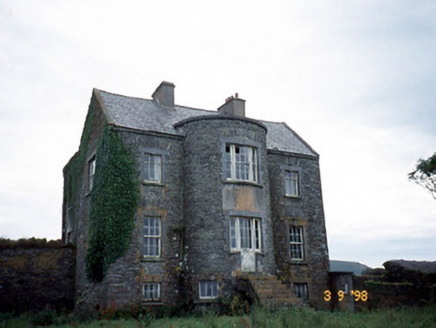 Belle VilleFarm house · 2.1 mi
Explorer Tom Belle Ville has a family tree that’s mostly made up by people who wanted better stories. The full-height bow entrance…
 Valentia Young Islanders GAA pitchGAA ground · 2.3 mi
 Fermoyle Castle (in Ruins)Castle, tower house · 2.5 mi
Explorer Tom Fermoyle Castle in Formaoil is still sulking about losing its walls to the elements. It wants a rematch with Ross…
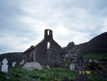 Séipéal na Cille [Killemlagh Catholic Chapel]Church/chapel · 2.6 mi
Explorer Tom Séipéal na Cille is playing possum without its roof, looking like it’s mid-sentence. It’d tell its younger self to stop…
 Skellig Experience CentreMuseum · 2.9 mi
Explorer Tom The Skellig Experience Centre stands on Valentia Island facing the sea, with Skellig Michael waiting beyond the water…
Skelligs Rangers GAA pitchGAA ground · 2.9 mi ValentiaIsland · 3.1 mi
Explorer Tom I can barely send a postcard on time; Valentia sent messages across an ocean. Valentia Island helped the Atlantic…
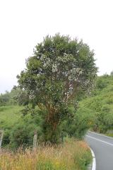 Chilean myrtle3.2 mi
Explorer Tom Chilean myrtle in County Kerry thinks it’s from Chile, but it’s just chilling out here pretending to be exotic. The…
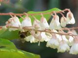 Lily-of-the-valley tree3.2 mi
Explorer Tom The Lily-of-the-valley tree in County Kerry is actually run by a very serious, small dog named Gerald. He barks at the…
 GeokaunMountain / peak · 3.5 mi
Explorer Tom Geokaun is Valentia Island's high lookout, with Dingle Bay, the Skelligs and the Kerry mountains all jostling for your…
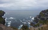 Kerry CliffsHeritage attraction · 3.7 mi
Explorer Tom The Kerry Cliffs near Portmagee have a serious grudge against the weather for keeping them looking so perpetually wet…
 Fogher CliffCliff · 3.7 mi
Explorer Tom Fogher Cliff is currently being mocked by the local sheep who think it’s just a very tall fence that forgot how to be…
More archaeology and monuments in County Kerry · All of County Kerry

What do you know about this place?Tap to add a comment or ask a question