
What is recorded here
In rough pasture, on a SW-facing slope overlooking the valley of the Sheen River. The remains of a roughly circular hut site (5.2m E-W; 4.9m N-S) defined by a collapsed drystone wall (T 0.6m; H 0.5m). Parts of the wall SW-NE contain upright slabs set at right angles to the line of the wall. The entrance (Wth 0.6m) is at SE. The hut site is cut into the upslope at NE and built up at SW to form a level interior. There are relict field boundaries (KE093-055002-) c. 10m to the NW. There is an enclosure (KE093-055001-) c. 60m to the SE and another relict field boundary (KE093-055003-) is c. 70m to the ESE.
The above description is derived from the published 'Archaeological Inventory of County Kerry. Volume I: South-West Kerry' (Dublin: Stationery Office, 2009). In certain instances the entries have been revised and updated in the light of recent research.
Date of upload: 30 May 2011
The monument record does not grant public access. Check the route and ask the landowner before entering private land.
- What survives
- Recorded monument
Places near here
 Field system in Cappagh (glanarought By.)Field system · 195 yd
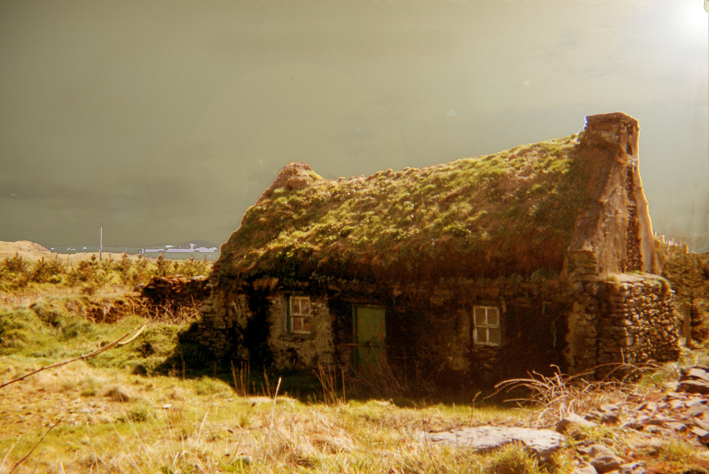 Hut site in Cappagh (glanarought By.)Hut site · 197 yd
 Knockbrack South TopMountain / peak · 1453 yd
 Dromanassig Br.Bridge · 1.1 mi
 Coomclogherane TopMountain / peak · 1.1 mi
 Glashagarriv Br.Bridge · 1.2 mi
 Bullaun StoneHeritage attraction · 1.9 mi
 Bonane Heritage ParkMuseum · 2.0 mi
 CastleCastle, unclassified · 2.8 mi
 European YewEuropean Yew · 3.0 mi
 Castle (Site of)Castle, unclassified · 3.0 mi
 Battle of Callannbattle · 3.2 mi
Other information
Photo: Credit not shown in the picture search · Rights wording not checked; contact us if this picture should be removed