
What is recorded here
Map note: There is a map point for Sgeir A' Chaolais, a fish trap near Grasspoint, Argyll and Bute, Scotland. There is no need to invent a lost kingdom to make the name interesting.
Places near here
Photo credits
- Andrew Wood, Wikimedia Commons · CC BY-SA 2.0
- Tom Richardson, Wikimedia Commons · CC BY-SA 2.0
- Les Hull, Wikimedia Commons · CC BY-SA 2.0
- Richard Webb, Wikimedia Commons · CC BY-SA 2.0
- Maker not stated on source page, www.bigstockphoto.com
- Maker not stated on source page, en.wikipedia.org
- Michael Jagger, Wikimedia Commons · CC BY-SA 2.0
- Oliver Dixon, Wikimedia Commons · CC BY-SA 2.0
- David Dixon, Wikimedia Commons · CC BY-SA 2.0
- Martin Southwood, Wikimedia Commons · CC BY-SA 2.0
- Maker not stated on source page, www.flickr.com
- David P Howard, Wikimedia Commons · CC BY-SA 2.0
 Mull, Grass Point Ferry HouseHouse · 1414 yd
 Mull, Grass Point, MossStone · 1428 yd
 LochdonBank (earthwork) · 1.1 mi
 Mull, Duart Point, Black's Memorial LighthouseBeacon (19th Century) · 1.4 mi
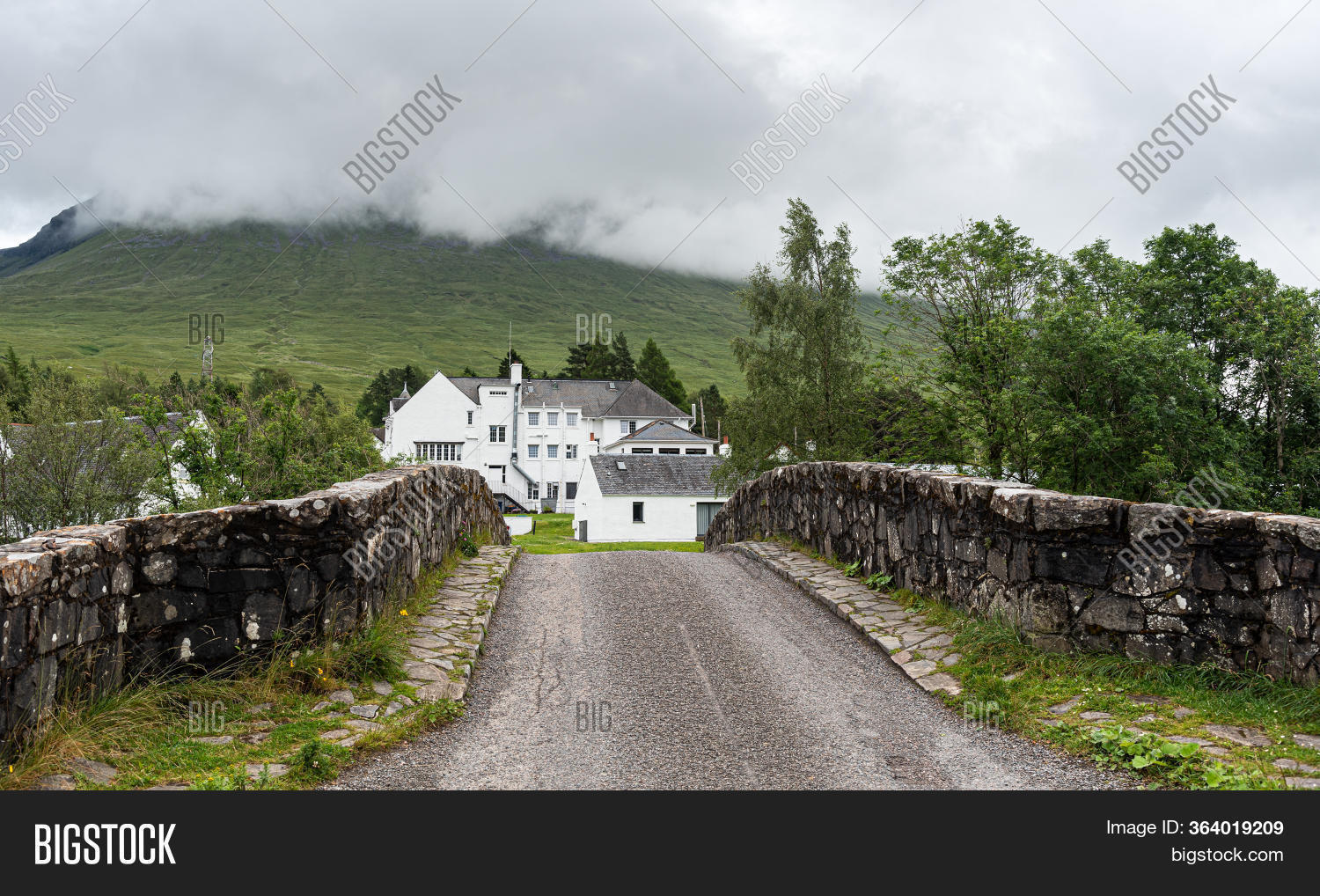 Mull, Auchnacraig BridgeRoad Bridge (18th Century) · 1.5 mi
 Kilpatrick CemeteryGraveyard · 1.5 mi
 Duart CastleCastle · 1.9 mi
 Lady's RockIslet · 1.9 mi
 Mull, Duart CastleCastle (14th Century) · 2.0 mi
Explorer Tom Mull, Duart Castle dates back to the 14th Century. It’s sitting pretty on the loch, looking like it owns the place.…
 Duart BayBay · 2.0 mi
 Mull, Torosay CastleCountry House (19th Century), Dovecot(s) (post Medieval), Terraced Garden (19th Century) · 2.3 mi
 Sgeir nan GaelIslet · 2.5 mi
More archaeology and monuments in Argyll and Bute · All of Argyll and Bute

What do you know about this place?Tap to add a comment or ask a question