What is recorded here
Kilcoan holds an unlocated settlement site, meaning people lived there before the land forgot the exact spot. The uncertainty does not diminish the fact that hands worked the soil, fires burned, and children learned the shape of the place.
The official Northern Ireland record identifies this as SETTLEMENT SITE (unlocated). Recorded period: UNCERTAIN. The official map point was placed at the centre of the recorded archaeological site from the source map reference.
The monument record does not grant public access. Check the route and ask the landowner before entering private land.
- What survives
- Recorded monument
Places near here
 ENCLOSURE & STRUCTURE in AldfreckENCLOSURE & STRUCTURE · 1.4 mi
 CavesCave · 1.5 mi
 the gobbins pathHeritage attraction · 1.5 mi
 Gordon's LeapBay · 1.5 mi
 Otter CaveCave · 1.6 mi
 Enclosure (Possible); Folly or Tree Ring (Possible) in BallykeelEnclosure (Possible); Folly or Tree Ring (Possible) · 1.6 mi
 Magheramorne Presbyterian ChurchChurch · 2.0 mi
 Swan IslandIslet · 2.4 mi
 CASTLE in PortmuckCASTLE · 2.7 mi
 POST-MED CHURCH; MEDIEVAL PARISH CHURCH; GRAVEYARD: TEMPLECORRAN CHURCH or TEMPLE-I-CORRAN or LISLAYNAN in Forthill (ballycarry)POST-MED CHURCH; MEDIEVAL PARISH CHURCH; GRAVEYARD: TEMPLECORRAN CHURCH or TEMPLE-I-CORRAN or LISLAYNAN · 2.8 mi
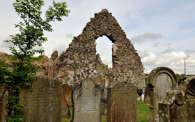 TemplecorranRuins · 2.8 mi
 Isle of MuckIsland · 2.8 mi