
What is recorded here
From the Northern Ireland Sites and Monuments Record record TYR065:001
Places near here
Photo credits
- Kenneth Allen, Geograph · CC BY-SA 2.0
- Jimi Irwin, Geograph · CC BY-SA 2.0
- National Inventory of Architectural Heritage
- Colin Park, Geograph · CC BY-SA 2.0
- Maker not stated on source page, commons.wikimedia.org
- Maker not stated on source page, www.alamy.com
- abdallahh from Montréal, Canada, Wikimedia Commons · CC BY 2.0
- Allie_Caulfield from Germany, Wikimedia Commons · CC BY 2.0
 Sliabh Beagh WayWalking route · 977 yd
Explorer Tom Sliabh Beagh Way is stuck in a fairy dispute over who gets to park their little wicker cart on the ridge, causing a…
 Dual court tomb: carnagat in BallywholanDual Court Tomb: Carnagat · 1.1 mi
Explorer Tom Dual court tomb: carnagat in Ballywholan would tell any interviewer that it has excellent structural integrity and very…
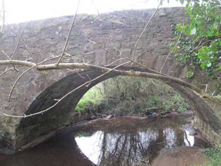 bridge1.5 mi
Explorer Tom Bridge in Bragan has a prophecy that it would float away during the next full moon, which never happened. It’s all…
 Slieve Beagh se TopMountain / peak · 3.1 mi
Explorer Tom Slieve Beagh SE Top has a long-standing grudge against the weather for constantly smudging its features like it’s a bad…
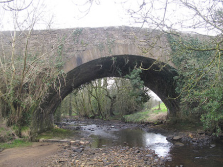 Derrykinnigh BridgeBridge · 3.2 mi
Explorer Tom Derrykinnigh Bridge has a tall tale about a hidden tunnel leading straight to the local pub. The stonework is fancy…
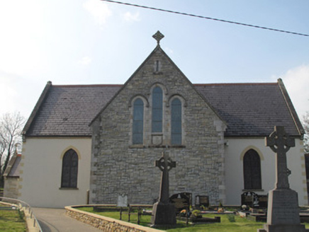 Catholic Church of the Sacred HeartChurch/chapel · 3.4 mi
Explorer Tom Catholic Church of the Sacred Heart in Drumbristan is symmetrical and free-standing, with Gothic Revival detailing that…
 Sliabh Beagh Hotel and Tourism CentreVisitor information · 3.4 mi
Explorer Tom Sliabh Beagh Hotel and Tourism Centre thinks Dublin tourists are just fancy versions of tourists, which is technically…
 Fairy fort / earthen ringfort in Derrylea BegFairy fort / earthen ringfort · 3.9 mi
Explorer Tom Fairy fort / earthen ringfort in Derrylea Beg is having a nap on its knoll. When nobody's looking, it probably…
 Mapped graveyardGraveyard · 4.9 mi
Explorer Tom this Mapped graveyard in County Monaghan has a scandal it’s been hiding for centuries involving a goat, a bishop, and a…
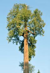 Western Redcedar5.2 mi
Explorer Tom A Western Redcedar here is currently having a dramatic falling-out with the nearest oak tree over who has better bark.…
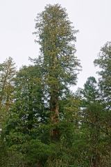 Coast Redwood5.2 mi
Explorer Tom Another Coast Redwood in Monaghan is currently judging every rabbit that passes by for wearing mismatched socks. It…
 Mapped cemeteryCemetery · 5.5 mi
Explorer Tom The storm this Mapped cemetery bragged about surviving was actually just a strong gust that blew a hat off an old man’s…
More archaeology and monuments in County Tyrone · All of County Tyrone

What do you know about this place?Tap to add a comment or ask a question